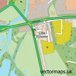
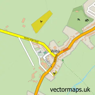
This Irchester street map is a detailed vector street map covering a 750m x 750m area. Select a larger area to create and download your own vector street map of Irchester.
The 750-metre map sample for Irchester covers 448 mapped buildings and approximately 25.9 km of road detail, of which 34 named roads are named. The immediate area includes 1 school, 1 GP surgery, with 3 within 2 miles, 1 pub and 1 MOT station, with 8 within 2 miles. The wider area around Irchester features 1 tourism point of interest, 4 food and drink venues and 1 hotel. To create a larger or custom map of Irchester, the map builder lets you define your own coverage area and download editable SVG, PDF and PNG files.
Create a larger editable map of Irchester
Choose any area you need and generate a high-quality vector map instantly. Perfect for print, planning, design, business and personal use.

This Irchester street map in Northamptonshire is available as downloadable SVG, PDF and PNG map files, or as a printed map for planning, business, display, education, local information and design work. You can also create a larger custom map area using the map selector.
What this Irchester map sample shows
Irchester lies within Irchester Cp parish, part of Irchester ward in the North Northamptonshire local authority area. The postcode geography for this area includes the NN postcode area, the NN29 postcode district and the NN29 7 postcode sector. Residents fall under the Nhs Northamptonshire Integrated Care Board for NHS services.
Local features near Irchester
Within 2 milesAmenities and services in and around Irchester.
Administrative and postcode information for Irchester
Irchester lies within Irchester Cp parish, part of Irchester ward in the North Northamptonshire local authority area. The postcode geography for this area includes the NN postcode area, the NN29 postcode district and the NN29 7 postcode sector. Residents fall under the Nhs Northamptonshire Integrated Care Board for NHS services.
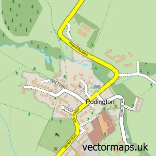
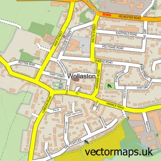
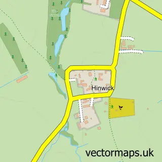
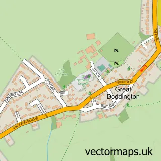
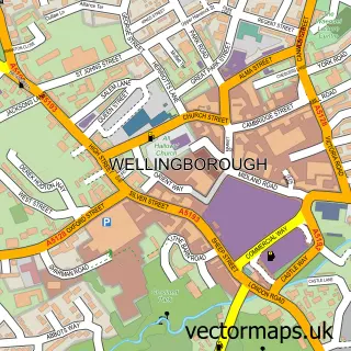
Nearby street map samples around Irchester

More street maps in Northamptonshire
750 metre map area coverage
Boundary, postcode and point of interest information for the 750m x 750m rectangle centred on this sample map.
Boundaries containing map centre
Constituency: Wellingborough and Rushden Co Const
District: North Northamptonshire
Icb: NHS Northamptonshire ICB
Parish: Irchester CP
Police Force: northamptonshire
Postcode District: NN29
Postcode Sector: NN29 7
Ward: Irchester Ward
Nearby boundaries intersecting sample
No additional intersecting boundaries found.
Postcode coverage
POI category counts
Beauty Salon: 4
Convenience Store: 3
Home Goods Store: 3
Library: 3
Church Cathedral: 2
Doctor: 2
Flowers And Gifts Shop: 2
It Service And Computer Repair: 2
Metal Supplier: 2
Nursing School: 2
Sample points of interest
- Tinybutmighty
- Serenity Intuitive Holistic Health Solutions & Reflexology
- The Cooperative Food (BF) Irchester (ERF), Irchester
- ASR Motor Body Engineering
- Rose Beauty
- Coiffure
- KT Louise Hair
- Pretty polish
- The CACI Skin Retreat
- White Cottage Weddings
- Almond Tree Strategic Consulting
- The Pear Tree Cafe
Create a larger editable map of Irchester
This sample shows only a 750 metre area. To create a larger map of Irchester, use our map builder to choose your own coverage area, add titles and download editable SVG, PDF and PNG files.
Create a custom map of Irchester