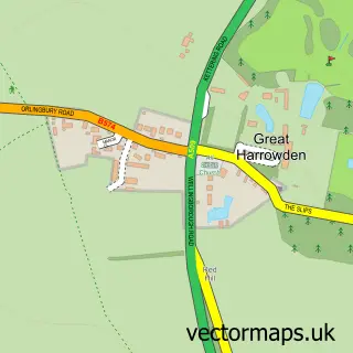
This Wilby street map is a detailed vector street map covering a 750m x 750m area. Select a larger area to create and download your own vector street map of Wilby.
The 750-metre map sample for Wilby covers 96 mapped buildings and approximately 11.1 km of road detail, of which 3 named roads are named. The immediate area includes 3 GP surgeries within 2 miles, 2 pubs and 13 MOT stations within 2 miles. The wider area around Wilby features 2 tourism points of interest and 2 food and drink venues. To create a larger or custom map of Wilby, the map builder lets you define your own coverage area and download editable SVG, PDF and PNG files.
Create a larger editable map of Wilby
Choose any area you need and generate a high-quality vector map instantly. Perfect for print, planning, design, business and personal use.

This Wilby street map in Northamptonshire is available as downloadable SVG, PDF and PNG map files, or as a printed map for planning, business, display, education, local information and design work. You can also create a larger custom map area using the map selector.
What this Wilby map sample shows
Wilby lies within Wilby Cp parish, part of Great Doddington & Wilby ward in the North Northamptonshire local authority area. The postcode geography for this area includes the NN postcode area, the NN8 postcode district and the NN8 2 postcode sector. Residents fall under the Nhs Northamptonshire Integrated Care Board for NHS services.
Local features near Wilby
Within 2 milesAmenities and services in and around Wilby.
Administrative and postcode information for Wilby
The local authority covering Wilby is North Northamptonshire, within the county of Northamptonshire. The settlement lies within Great Doddington & Wilby ward and Wilby Cp civil parish. The NN8 postcode district and NN8 2 postcode sector serve the immediate area. NHS provision in the area is delivered through Northampton General Hospital Nhs Trust.
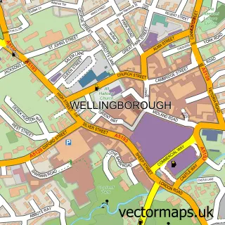
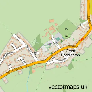
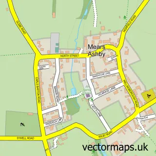
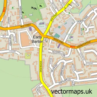
Nearby street map samples around Wilby

More street maps in Northamptonshire
750 metre map area coverage
Boundary, postcode and point of interest information for the 750m x 750m rectangle centred on this sample map.
Boundaries containing map centre
Constituency: Daventry Co Const
District: North Northamptonshire
Icb: NHS Northamptonshire ICB
Parish: Wilby CP
Police Force: northamptonshire
Postcode District: NN8
Postcode Sector: NN8 2
Ward: Irchester Ward
Nearby boundaries intersecting sample
Parish: Great Doddington CP
Postcode District: NN29
Postcode Sector: NN29 7
Postcode coverage
POI category counts
Elementary School: 2
Pub: 2
Anglican Church: 1
Attractions And Activities: 1
Bed And Breakfast: 1
Church Cathedral: 1
Contractor: 1
Crane Services: 1
Dog Walkers: 1
Park: 1
Sample points of interest
- St Mary The Virgin - Wilby
- Wilby Playing Field
- The George Inn
- St Mary's Church
- My Luxury Bathroom
- A-Lift Crane Hire Ltd.
- Walking on Air Pet Care
- Wilby C of E Primary School
- Wilby Church of England VA Primary School
- Wilby Park
- The Development Company Ltd Training
- The George Of Wilby
Create a larger editable map of Wilby
This sample shows only a 750 metre area. To create a larger map of Wilby, use our map builder to choose your own coverage area, add titles and download editable SVG, PDF and PNG files.
Create a custom map of Wilby