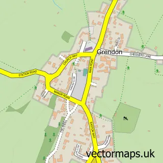
This Earls Barton street map is a detailed vector street map covering a 750m x 750m area. Select a larger area to create and download your own vector street map of Earls Barton.
The 750-metre map sample for Earls Barton covers 440 mapped buildings and approximately 25.9 km of road detail, of which 34 named roads are named. The immediate area includes 1 school, 1 GP surgery within 2 miles, 3 pubs and 3 MOT stations within 2 miles. The wider area around Earls Barton features 2 tourism points of interest and 8 food and drink venues. To create a larger or custom map of Earls Barton, the map builder lets you define your own coverage area and download editable SVG, PDF and PNG files.
Create a larger editable map of Earls Barton
Choose any area you need and generate a high-quality vector map instantly. Perfect for print, planning, design, business and personal use.

This Earls Barton street map in Northamptonshire is available as downloadable SVG, PDF and PNG map files, or as a printed map for planning, business, display, education, local information and design work. You can also create a larger custom map area using the map selector.
What this Earls Barton map sample shows
Earls Barton lies within Earls Barton Cp parish, part of Earls Barton ward in the North Northamptonshire local authority area. The postcode geography for this area includes the NN postcode area, the NN6 postcode district and the NN6 0 postcode sector. Residents fall under the Nhs Northamptonshire Integrated Care Board for NHS services.
Local features near Earls Barton
Within 2 milesAmenities and services in and around Earls Barton.
Administrative and postcode information for Earls Barton
The local authority covering Earls Barton is North Northamptonshire, within the county of Northamptonshire. The settlement lies within Earls Barton ward and Earls Barton Cp civil parish. The NN6 postcode district and NN6 0 postcode sector serve the immediate area. NHS provision in the area is delivered through Northampton General Hospital Nhs Trust.
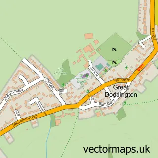
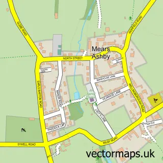
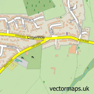
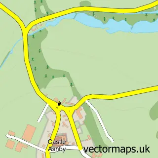
Nearby street map samples around Earls Barton

More street maps in Northamptonshire
750 metre map area coverage
Boundary, postcode and point of interest information for the 750m x 750m rectangle centred on this sample map.
Boundaries containing map centre
Constituency: Daventry Co Const
District: North Northamptonshire
Icb: NHS Northamptonshire ICB
Parish: Earls Barton CP
Police Force: northamptonshire
Postcode District: NN6
Postcode Sector: NN6 0
Ward: Earls Barton Ward
Nearby boundaries intersecting sample
No additional intersecting boundaries found.
Postcode coverage
POI category counts
Building Supply Store: 4
Beauty Salon: 3
Convenience Store: 3
Doctor: 3
Gift Shop: 3
Hair Salon: 3
Professional Services: 3
Pub: 3
Restaurant: 3
Alternative Medicine: 2
Sample points of interest
- Hypnobirthing
- Pierre Antoye Osteopath
- All Saints Church, Earls Barton
- Dave Tate Service & Repairs
- The Cooperative Food Earls Barton, Earls Barton
- Twenty9
- Station Barber
- The Quarters Barbershop
- Costume Hire
- Enhanced beautysw
- Amazing Beauty & Body Clinic
- Blackwell Beauty
Create a larger editable map of Earls Barton
This sample shows only a 750 metre area. To create a larger map of Earls Barton, use our map builder to choose your own coverage area, add titles and download editable SVG, PDF and PNG files.
Create a custom map of Earls Barton