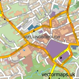
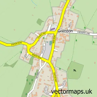
This Wollaston street map is a detailed vector street map covering a 750m x 750m area. Select a larger area to create and download your own vector street map of Wollaston.
The 750-metre map sample for Wollaston covers 470 mapped buildings and approximately 27.9 km of road detail, of which 32 named roads are named. The immediate area includes 1 school and 2 pubs. The wider area around Wollaston features 1 tourism point of interest and 5 food and drink venues. To create a larger or custom map of Wollaston, the map builder lets you define your own coverage area and download editable SVG, PDF and PNG files.
Create a larger editable map of Wollaston
Choose any area you need and generate a high-quality vector map instantly. Perfect for print, planning, design, business and personal use.

This Wollaston street map in Northamptonshire is available as downloadable SVG, PDF and PNG map files, or as a printed map for planning, business, display, education, local information and design work. You can also create a larger custom map area using the map selector.
What this Wollaston map sample shows
Wollaston lies within Wollaston Cp parish, part of Wollaston ward in the North Northamptonshire local authority area. The postcode geography for this area includes the NN postcode area, the NN29 postcode district and the NN29 7 postcode sector. Residents fall under the Nhs Northamptonshire Integrated Care Board for NHS services.
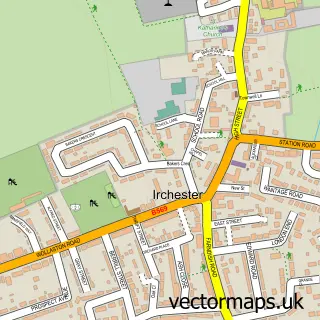
Local features near Wollaston
Within 2 milesAmenities and services in and around Wollaston.
Administrative and postcode information for Wollaston
The local authority covering Wollaston is North Northamptonshire, within the county of Northamptonshire. The settlement lies within Wollaston ward and Wollaston Cp civil parish. The NN29 postcode district and NN29 7 postcode sector serve the immediate area. NHS provision in the area is delivered through Kettering General Hospital Nhs Foundation Trust.
Nearby street map samples around Wollaston

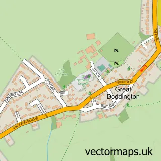
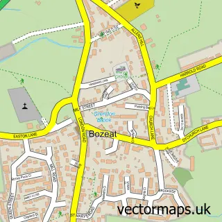
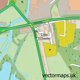
More street maps in Northamptonshire
750 metre map area coverage
Boundary, postcode and point of interest information for the 750m x 750m rectangle centred on this sample map.
Boundaries containing map centre
Constituency: South Northamptonshire Co Const
District: North Northamptonshire
Icb: NHS Northamptonshire ICB
Parish: Wollaston CP
Police Force: northamptonshire
Postcode District: NN29
Postcode Sector: NN29 7
Ward: Irchester Ward
Nearby boundaries intersecting sample
Parish: Strixton CP
Postcode coverage
POI category counts
Doctor: 4
Convenience Store: 3
Professional Services: 3
Beauty And Spa: 2
Coffee Shop: 2
Corporate Office: 2
Event Planning: 2
Flowers And Gifts Shop: 2
Home Cleaning: 2
Home Goods Store: 2
Sample points of interest
- Whitebox Property Solutions
- Axon Automotive
- The Cooperative Food (BF) Wollaston (swap), Wollaston
- Make Me Dugouts
- Wollaston Baptist Church
- The Nags Head Wollaston
- Lillibuffs
- The Beauty Barn by Kayleigh
- Creations York Road
- Ride-Inn Bike Shop
- Herdman Blinds
- Food Care Solutions
Create a larger editable map of Wollaston
This sample shows only a 750 metre area. To create a larger map of Wollaston, use our map builder to choose your own coverage area, add titles and download editable SVG, PDF and PNG files.
Create a custom map of Wollaston