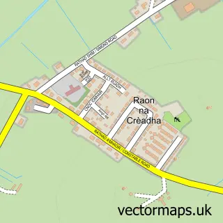
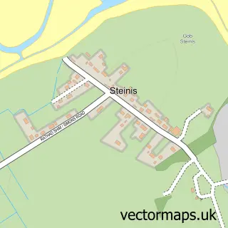
This Steòrnabhagh street map is a detailed vector street map covering a 750m x 750m area. Select a larger area to create and download your own vector street map of Steòrnabhagh.
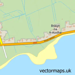
The 750-metre map sample for Steòrnabhagh covers 65 mapped buildings and approximately 14.7 km of road detail, of which 24 named roads are named. The immediate area includes 1 GP surgery, with 2 within 2 miles, 9 pubs and 6 MOT stations within 2 miles. The wider area around Steòrnabhagh features 7 tourism points of interest, 32 food and drink venues and 10 hotels. To create a larger or custom map of Steòrnabhagh, the map builder lets you define your own coverage area and download editable SVG, PDF and PNG files.
Create a larger editable map of Steòrnabhagh
Choose any area you need and generate a high-quality vector map instantly. Perfect for print, planning, design, business and personal use.

This Steòrnabhagh street map in Western Isles is available as downloadable SVG, PDF and PNG map files, or as a printed map for planning, business, display, education, local information and design work. You can also create a larger custom map area using the map selector.
What this Steòrnabhagh map sample shows
Steòrnabhagh lies within Na H-Eileanan An Iar parish, part of Steornabhagh A Tuath ward in the Na H-Eileanan An Iar local authority area. The postcode geography for this area includes the HS postcode area, the HS2 postcode district and the HS2 0 postcode sector. Residents fall under the Western Isles for NHS services.
Local features near Steòrnabhagh
Within 2 milesAmenities and services in and around Steòrnabhagh.
Administrative and postcode information for Steòrnabhagh
The local authority covering Steòrnabhagh is Na H-Eileanan An Iar, within the county of Western Isles. The settlement lies within Steornabhagh A Tuath ward and Na H-Eileanan An Iar civil parish. The HS2 postcode district and HS2 0 postcode sector serve the immediate area. NHS provision in the area is delivered through Western Isles.
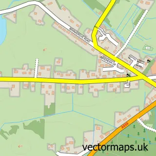
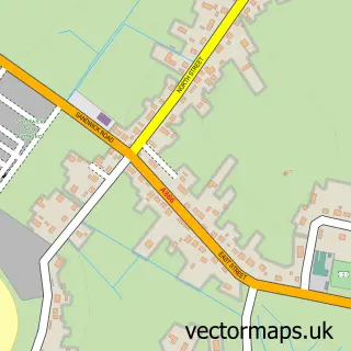
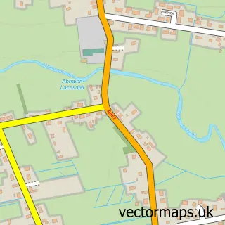
Nearby street map samples around Steòrnabhagh

More street maps in Western Isles
750 metre map area coverage
Boundary, postcode and point of interest information for the 750m x 750m rectangle centred on this sample map.
Boundaries containing map centre
Constituency: Na h-Eileanan an Iar Co Const
District: Na h-Eileanan an Iar
Icb: Western Isles
Postcode District: HS1
Postcode Sector: HS1 2
Ward: Steornabhagh a Deas Ward
Nearby boundaries intersecting sample
Postcode District: HS2
Postcode Sector: HS2 0
Ward: Steornabhagh a Tuath Ward
Postcode coverage
POI category counts
Beauty Salon: 11
Clothing Store: 11
Hotel: 10
Professional Services: 10
Restaurant: 10
Church Cathedral: 9
Pub: 9
Cafe: 8
Real Estate Agent: 8
Bed And Breakfast: 7
Sample points of interest
- Afrin, Roderick
- Steornabhagh
- CIB Services
- Mann Judd Gordon
- Stornoway Business Services Ltd.
- Thinkbusiness
- SYSAC 2
- LWAcupuncture
- Stornoway Airport
- British Red Cross
- Lewis Revival
- CEF
Create a larger editable map of Steòrnabhagh
This sample shows only a 750 metre area. To create a larger map of Steòrnabhagh, use our map builder to choose your own coverage area, add titles and download editable SVG, PDF and PNG files.
Create a custom map of Steòrnabhagh