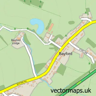
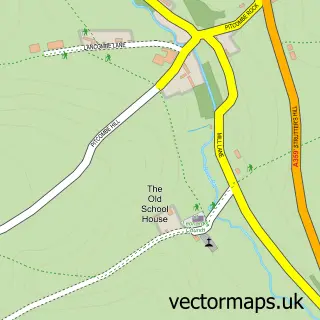
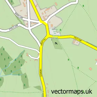
This Stoney Stoke street map is a detailed vector street map covering a 750m x 750m area. Select a larger area to create and download your own vector street map of Stoney Stoke.
The 750-metre map sample for Stoney Stoke covers 42 mapped buildings and approximately 9.2 km of road detail, of which 2 named roads are named. The immediate area includes 1 MOT station within 2 miles. The wider area around Stoney Stoke features 2 tourism points of interest. To create a larger or custom map of Stoney Stoke, the map builder lets you define your own coverage area and download editable SVG, PDF and PNG files.
Create a larger editable map of Stoney Stoke
Choose any area you need and generate a high-quality vector map instantly. Perfect for print, planning, design, business and personal use.

This Stoney Stoke street map in Somerset is available as downloadable SVG, PDF and PNG map files, or as a printed map for planning, business, display, education, local information and design work. You can also create a larger custom map area using the map selector.
What this Stoney Stoke map sample shows
Stoney Stoke lies within Shepton Montague Cp parish, part of Tower ward in the Somerset local authority area. The postcode geography for this area includes the BA postcode area, the BA9 postcode district and the BA9 8 postcode sector. Residents fall under the Nhs Somerset Integrated Care Board for NHS services.
Local features near Stoney Stoke
Within 2 milesAmenities and services in and around Stoney Stoke.
Administrative and postcode information for Stoney Stoke
Stoney Stoke lies within Shepton Montague Cp parish, part of Tower ward in the Somerset local authority area. The postcode geography for this area includes the BA postcode area, the BA9 postcode district and the BA9 8 postcode sector. Residents fall under the Nhs Somerset Integrated Care Board for NHS services.
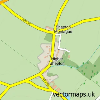
Nearby street map samples around Stoney Stoke

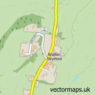
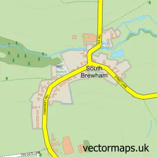
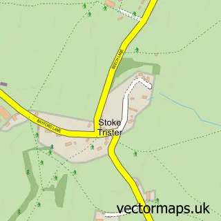
More street maps in Somerset
750 metre map area coverage
Boundary, postcode and point of interest information for the 750m x 750m rectangle centred on this sample map.
Boundaries containing map centre
Constituency: Glastonbury and Somerton Co Const
District: Somerset
Icb: NHS Somerset ICB
Parish: Shepton Montague CP
Police Force: avon and somerset
Postcode District: BA9
Postcode Sector: BA9 8
Nearby boundaries intersecting sample
Parish: Charlton Musgrove CP
Postcode coverage
POI category counts
Campground: 1
Landmark And Historical Building: 1
Sample points of interest
- Somerset Glamping
- Stoney Stoke
Create a larger editable map of Stoney Stoke
This sample shows only a 750 metre area. To create a larger map of Stoney Stoke, use our map builder to choose your own coverage area, add titles and download editable SVG, PDF and PNG files.
Create a custom map of Stoney Stoke