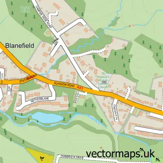
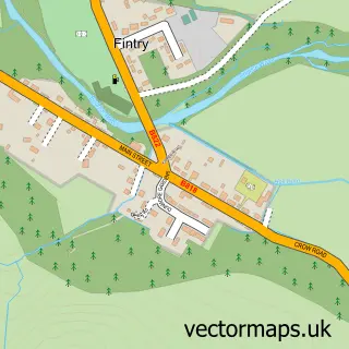
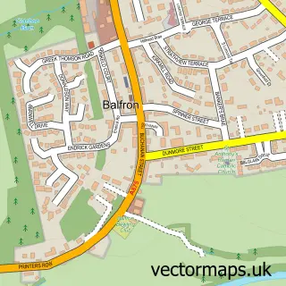
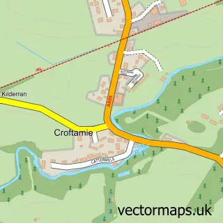
This Strathblane street map is a detailed vector street map covering a 750m x 750m area. Select a larger area to create and download your own vector street map of Strathblane.
The 750-metre map sample for Strathblane covers 400 mapped buildings and approximately 13.9 km of road detail, of which 25 named roads are named. The immediate area includes 1 GP surgery. The wider area around Strathblane features 1 tourism point of interest and 1 campsite within 2 miles. To create a larger or custom map of Strathblane, the map builder lets you define your own coverage area and download editable SVG, PDF and PNG files.
Create a larger editable map of Strathblane
Choose any area you need and generate a high-quality vector map instantly. Perfect for print, planning, design, business and personal use.

This Strathblane street map in Stirling and Falkirk is available as downloadable SVG, PDF and PNG map files, or as a printed map for planning, business, display, education, local information and design work. You can also create a larger custom map area using the map selector.
What this Strathblane map sample shows
Strathblane lies within Stirling parish, part of Forth And Endrick ward in the Stirling local authority area. The postcode geography for this area includes the G postcode area, the G63 postcode district and the G63 9 postcode sector. Residents fall under the Forth Valley for NHS services.
Local features near Strathblane
Within 2 milesAmenities and services in and around Strathblane.
Administrative and postcode information for Strathblane
Strathblane lies within Stirling parish, part of Forth And Endrick ward in the Stirling local authority area. The postcode geography for this area includes the G postcode area, the G63 postcode district and the G63 9 postcode sector. Residents fall under the Forth Valley for NHS services.
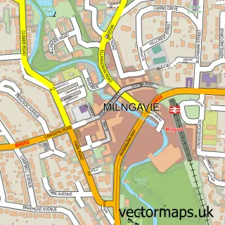
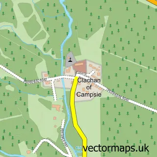
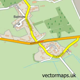
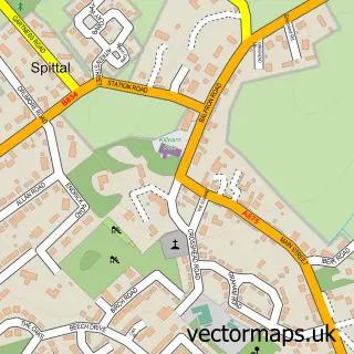
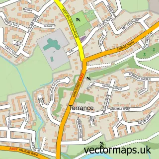
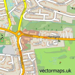
Nearby street map samples around Strathblane

More street maps in Stirling and Falkirk
750 metre map area coverage
Boundary, postcode and point of interest information for the 750m x 750m rectangle centred on this sample map.
Boundaries containing map centre
Constituency: Stirling and Strathallan Co Const
District: Stirling
Icb: Forth Valley
Postcode District: G63
Postcode Sector: G63 9
Ward: Forth and Endrick Ward
Nearby boundaries intersecting sample
No additional intersecting boundaries found.
Postcode coverage
POI category counts
Advertising Agency: 2
Doctor: 2
Elementary School: 2
Professional Services: 2
Scout Hall: 2
Shipping Center: 2
Accountant: 1
Active Life: 1
Amateur Sports Team: 1
Bank Credit Union: 1
Sample points of interest
- Baxter Accounting and Tax Services
- Caddie Golf Tours
- Carter Advertising
- KHK Promotions
- Blanefield Thistle FC
- RBS
- Strathblane Bowling Club
- Strathblane
- Strathblane Scout & Guide Hall
- G S Roofing
- Greens of Strathblane
- Balm Tattoo UK
Create a larger editable map of Strathblane
This sample shows only a 750 metre area. To create a larger map of Strathblane, use our map builder to choose your own coverage area, add titles and download editable SVG, PDF and PNG files.
Create a custom map of Strathblane