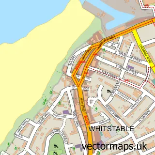
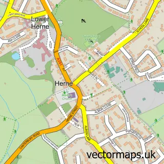
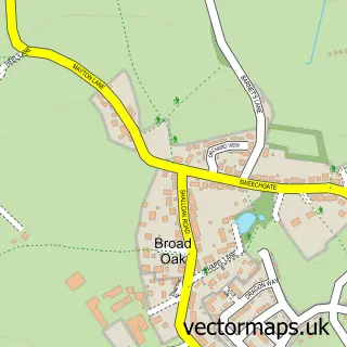
This Swalecliffe street map is a detailed vector street map covering a 750m x 750m area. Select a larger area to create and download your own vector street map of Swalecliffe.
The 750-metre map sample for Swalecliffe covers 290 mapped buildings and approximately 9.7 km of road detail, of which 15 named roads are named. The immediate area includes 9 MOT stations within 2 miles. The wider area around Swalecliffe features 2 tourism points of interest, 1 hotel and 2 campsites within 2 miles. To create a larger or custom map of Swalecliffe, the map builder lets you define your own coverage area and download editable SVG, PDF and PNG files.
Create a larger editable map of Swalecliffe
Choose any area you need and generate a high-quality vector map instantly. Perfect for print, planning, design, business and personal use.

This Swalecliffe street map in Kent is available as downloadable SVG, PDF and PNG map files, or as a printed map for planning, business, display, education, local information and design work. You can also create a larger custom map area using the map selector.
What this Swalecliffe map sample shows
Swalecliffe lies within Kent County parish, part of Swalecliffe ward in the Canterbury District (B) local authority area. The postcode geography for this area includes the CT postcode area, the CT5 postcode district and the CT5 2 postcode sector. Residents fall under the Nhs Kent And Medway Integrated Care Board for NHS services.
Local features near Swalecliffe
Within 2 milesAmenities and services in and around Swalecliffe.
Administrative and postcode information for Swalecliffe
The local authority covering Swalecliffe is Canterbury District (B), within the county of Kent. The settlement lies within Swalecliffe ward and Kent County civil parish. The CT5 postcode district and CT5 2 postcode sector serve the immediate area. NHS provision in the area is delivered through East Kent Hospitals University Nhs Foundation Trust.
Nearby street map samples around Swalecliffe

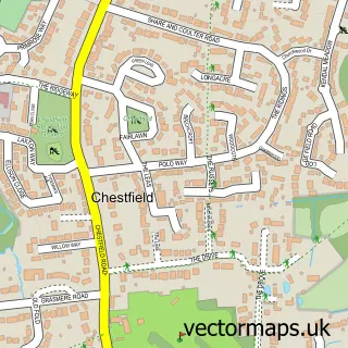
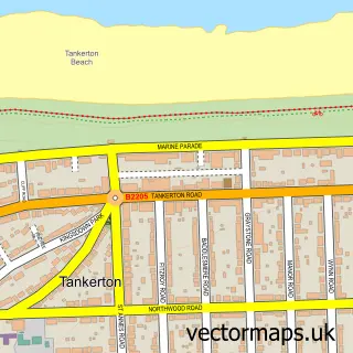
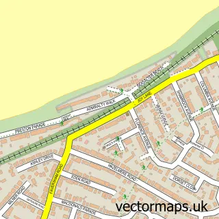
More street maps in Kent
750 metre map area coverage
Boundary, postcode and point of interest information for the 750m x 750m rectangle centred on this sample map.
Boundaries containing map centre
Constituency: Canterbury Co Const
County: Kent County
District: Canterbury District (B)
Icb: NHS Kent and Medway ICB
Police Force: kent
Postcode District: CT5
Postcode Sector: CT5 2
Ward: Swalecliffe Ward
Nearby boundaries intersecting sample
No additional intersecting boundaries found.
Postcode coverage
POI category counts
Pet Services: 2
Professional Services: 2
Scout Hall: 2
Anglican Church: 1
Automotive Repair: 1
Automotive Services And Repair: 1
Bar: 1
British Restaurant: 1
Building Supply Store: 1
Business: 1
Sample points of interest
- St John's Parish Church, Swalecliffe with Chestfield (Whitstable Team Ministry)
- L&T AUTOS
- Pcsupportwhitstable
- Seaview Bar & restaurant
- The Plough swalecliffe
- DAS Cleaning Services
- South East Investigations
- Swalecliffe St John's
- GP PC Support
- Dannys school of motoring
- Beancounters Bookkeeping
- Oyster Bay Trail
Create a larger editable map of Swalecliffe
This sample shows only a 750 metre area. To create a larger map of Swalecliffe, use our map builder to choose your own coverage area, add titles and download editable SVG, PDF and PNG files.
Create a custom map of Swalecliffe