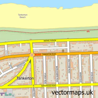
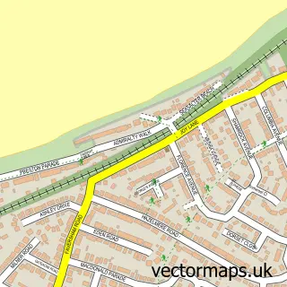
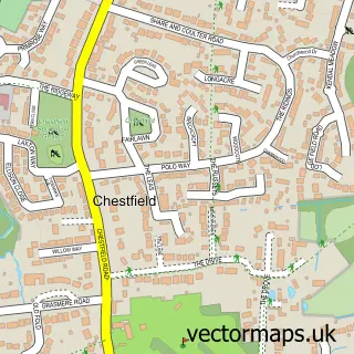
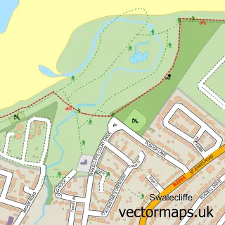
This Whitstable street map is a detailed vector street map covering a 750m x 750m area. Select a larger area to create and download your own vector street map of Whitstable.
The 750-metre map sample for Whitstable covers 259 mapped buildings and approximately 14.7 km of road detail, of which 37 named roads are named. The immediate area includes 2 schools, 1 GP surgery within 2 miles, 14 pubs and 7 MOT stations within 2 miles. The wider area around Whitstable features 4 tourism points of interest, 48 food and drink venues and 7 hotels. To create a larger or custom map of Whitstable, the map builder lets you define your own coverage area and download editable SVG, PDF and PNG files.
Create a larger editable map of Whitstable
Choose any area you need and generate a high-quality vector map instantly. Perfect for print, planning, design, business and personal use.

This Whitstable street map in Kent is available as downloadable SVG, PDF and PNG map files, or as a printed map for planning, business, display, education, local information and design work. You can also create a larger custom map area using the map selector.
What this Whitstable map sample shows
Whitstable lies within Kent County parish, part of Gorrell ward in the Canterbury District (B) local authority area. The postcode geography for this area includes the CT postcode area, the CT5 postcode district and the CT5 1 postcode sector. Residents fall under the Nhs Kent And Medway Integrated Care Board for NHS services.
Local features near Whitstable
Within 2 milesAmenities and services in and around Whitstable.
Administrative and postcode information for Whitstable
Whitstable lies within Kent County parish, part of Gorrell ward in the Canterbury District (B) local authority area. The postcode geography for this area includes the CT postcode area, the CT5 postcode district and the CT5 1 postcode sector. Residents fall under the Nhs Kent And Medway Integrated Care Board for NHS services.
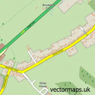
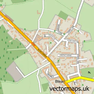
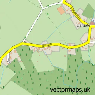
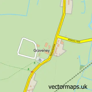
Nearby street map samples around Whitstable

More street maps in Kent
750 metre map area coverage
Boundary, postcode and point of interest information for the 750m x 750m rectangle centred on this sample map.
Boundaries containing map centre
Constituency: Canterbury Co Const
County: Kent County
District: Canterbury District (B)
Icb: NHS Kent and Medway ICB
Police Force: kent
Postcode District: CT5
Postcode Sector: CT5 1
Ward: Gorrell Ward
Nearby boundaries intersecting sample
Ward: Tankerton Ward
Postcode coverage
POI category counts
Clothing Store: 21
Cafe: 17
Pub: 14
Real Estate Agent: 12
Seafood Restaurant: 11
Flowers And Gifts Shop: 10
Restaurant: 10
Art Gallery: 9
Building Supply Store: 7
Coffee Shop: 7
Sample points of interest
- The Bubb Sherwin Partnership Ltd.
- Topakustik UK
- Golden Era Gallery
- Please Sir
- St Alphege Church
- St Alphege, Whitstable (Whitstable Team Ministry)
- St Peter's Whitstable (Whitstable Team Ministry)
- Geoff Laurens Antiques
- Laurens Antiques
- Pilgrims Hospice Furniture Shop
- Carol Foster
- Middle Wall Glassworks
Create a larger editable map of Whitstable
This sample shows only a 750 metre area. To create a larger map of Whitstable, use our map builder to choose your own coverage area, add titles and download editable SVG, PDF and PNG files.
Create a custom map of Whitstable