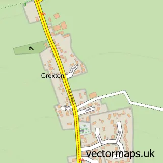
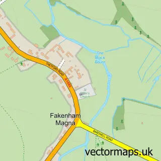
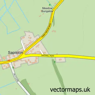
This Thetford street map is a detailed vector street map covering a 750m x 750m area. Select a larger area to create and download your own vector street map of Thetford.
The 750-metre map sample for Thetford covers 457 mapped buildings and approximately 20.5 km of road detail, of which 53 named roads are named. The immediate area includes 2 schools, 3 GP surgeries, 7 pubs and 12 MOT stations within 2 miles. The wider area around Thetford features 7 tourism points of interest, 20 food and drink venues and 4 hotels. To create a larger or custom map of Thetford, the map builder lets you define your own coverage area and download editable SVG, PDF and PNG files.
Create a larger editable map of Thetford
Choose any area you need and generate a high-quality vector map instantly. Perfect for print, planning, design, business and personal use.

This Thetford street map in Norfolk is available as downloadable SVG, PDF and PNG map files, or as a printed map for planning, business, display, education, local information and design work. You can also create a larger custom map area using the map selector.
What this Thetford map sample shows
Thetford lies within Thetford Cp parish, part of Thetford Castle ward in the Breckland District local authority area. The postcode geography for this area includes the IP postcode area, the IP24 postcode district and the IP24 2 postcode sector. Residents fall under the Nhs Norfolk And Waveney Integrated Care Board for NHS services.
Local features near Thetford
Within 2 milesAmenities and services in and around Thetford.
Administrative and postcode information for Thetford
Thetford lies within Thetford Cp parish, part of Thetford Castle ward in the Breckland District local authority area. The postcode geography for this area includes the IP postcode area, the IP24 postcode district and the IP24 2 postcode sector. Residents fall under the Nhs Norfolk And Waveney Integrated Care Board for NHS services.
Nearby street map samples around Thetford

More street maps in Norfolk
750 metre map area coverage
Boundary, postcode and point of interest information for the 750m x 750m rectangle centred on this sample map.
Boundaries containing map centre
Constituency: South West Norfolk Co Const
County: Norfolk County
District: Breckland District
Icb: NHS Norfolk and Waveney ICB
Parish: Thetford CP
Police Force: norfolk
Postcode District: IP24
Postcode Sector: IP24 1
Ward: Thetford Castle Ward
Nearby boundaries intersecting sample
Postcode Sector: IP24 2, IP24 3
Ward: Thetford Burrell Ward, Thetford Priory Ward
Postcode coverage
POI category counts
Beauty Salon: 12
Hair Salon: 11
Employment Agencies: 8
Professional Services: 8
Convenience Store: 7
Pub: 7
Real Estate Agent: 7
Supermarket: 7
Bank Credit Union: 6
Banks: 6
Sample points of interest
- Simark
- Thetford parkrun
- Norfolk Natural Health Clinic
- Thetford: St Cuthbert
- SUPER SLOTS Casino Slot Experience
- The Art Loft Thetford
- Public Museum
- Fantastic Fibres
- Hullabaloo
- Nimmi
- Cashpoint® 35 King Street
- Anglian Aerials
Create a larger editable map of Thetford
This sample shows only a 750 metre area. To create a larger map of Thetford, use our map builder to choose your own coverage area, add titles and download editable SVG, PDF and PNG files.
Create a custom map of Thetford