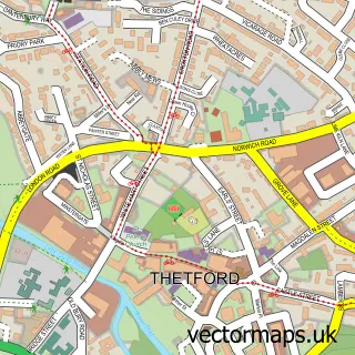
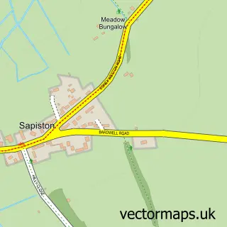
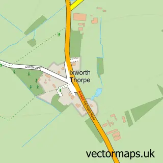
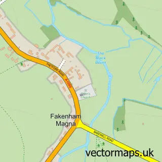
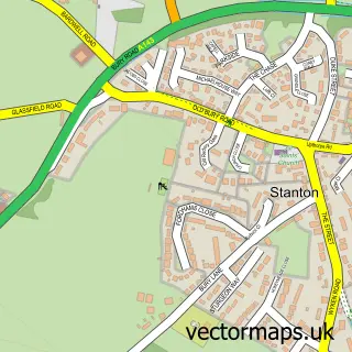
This Honington street map is a detailed vector street map covering a 750m x 750m area. Select a larger area to create and download your own vector street map of Honington.
The 750-metre map sample for Honington covers 116 mapped buildings and approximately 8.9 km of road detail, of which 9 named roads are named. The immediate area includes 1 school and 1 pub. The wider area around Honington features 1 food and drink venue. To create a larger or custom map of Honington, the map builder lets you define your own coverage area and download editable SVG, PDF and PNG files.
Create a larger editable map of Honington
Choose any area you need and generate a high-quality vector map instantly. Perfect for print, planning, design, business and personal use.

This Honington street map in Suffolk is available as downloadable SVG, PDF and PNG map files, or as a printed map for planning, business, display, education, local information and design work. You can also create a larger custom map area using the map selector.
What this Honington map sample shows
Honington lies within Honington Cp parish, part of Bardwell ward in the West Suffolk District local authority area. The postcode geography for this area includes the IP postcode area, the IP31 postcode district and the IP31 1 postcode sector. Residents fall under the Nhs Suffolk And North East Essex Integrated Care Board for NHS services.
Local features near Honington
Within 2 milesAmenities and services in and around Honington.
Administrative and postcode information for Honington
The local authority covering Honington is West Suffolk District, within the county of Suffolk. The settlement lies within Bardwell ward and Honington Cp civil parish. The IP31 postcode district and IP31 1 postcode sector serve the immediate area. NHS provision in the area is delivered through West Suffolk Nhs Foundation Trust.
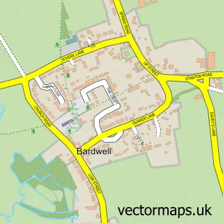
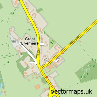
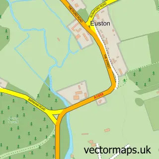
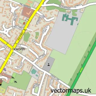
Nearby street map samples around Honington

More street maps in Suffolk
750 metre map area coverage
Boundary, postcode and point of interest information for the 750m x 750m rectangle centred on this sample map.
Boundaries containing map centre
Constituency: Bury St. Edmunds and Stowmarket Co Const
County: Suffolk County
District: West Suffolk District
Icb: NHS Essex ICB
Parish: Honington CP
Police Force: suffolk
Postcode District: IP31
Postcode Sector: IP31 1
Ward: Bardwell Ward
Nearby boundaries intersecting sample
Parish: Fakenham Magna CP
Postcode District: IP24
Postcode Sector: IP24 2
Postcode coverage
POI category counts
Gift Shop: 2
Anglican Church: 1
Antique Store: 1
Bar: 1
Bed And Breakfast: 1
Church Cathedral: 1
Educational Services: 1
Elementary School: 1
Home Goods Store: 1
Hvac Supplier: 1
Sample points of interest
- Honington, All Saints & St Andrew, Sapiston
- Mike and Sons' Antiques
- Busby's Bar RAF Honington
- Willow Bed & Breakfast
- All Saints' Church
- Atypical Education
- Honington VC Primary School
- Awesome Gifts Online
- Awesome Gifts Online
- Ray Knight Enterprises
- Fixaleak Anglia Ltd.
- Sunshine Gardens
Create a larger editable map of Honington
This sample shows only a 750 metre area. To create a larger map of Honington, use our map builder to choose your own coverage area, add titles and download editable SVG, PDF and PNG files.
Create a custom map of Honington