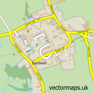
This Stanton street map is a detailed vector street map covering a 750m x 750m area. Select a larger area to create and download your own vector street map of Stanton.
The 750-metre map sample for Stanton covers 379 mapped buildings and approximately 17.4 km of road detail, of which 29 named roads are named. The immediate area includes 1 GP surgery, 1 pub and 1 MOT station, with 2 within 2 miles. The wider area around Stanton features 2 food and drink venues and 2 campsites within 2 miles. To create a larger or custom map of Stanton, the map builder lets you define your own coverage area and download editable SVG, PDF and PNG files.
Create a larger editable map of Stanton
Choose any area you need and generate a high-quality vector map instantly. Perfect for print, planning, design, business and personal use.

This Stanton street map in Suffolk is available as downloadable SVG, PDF and PNG map files, or as a printed map for planning, business, display, education, local information and design work. You can also create a larger custom map area using the map selector.
What this Stanton map sample shows
Stanton lies within Stanton Cp parish, part of Stanton ward in the West Suffolk District local authority area. The postcode geography for this area includes the IP postcode area, the IP31 postcode district and the IP31 2 postcode sector. Residents fall under the Nhs Suffolk And North East Essex Integrated Care Board for NHS services.
Local features near Stanton
Within 2 milesAmenities and services in and around Stanton.
Administrative and postcode information for Stanton
Stanton lies within Stanton Cp parish, part of Stanton ward in the West Suffolk District local authority area. The postcode geography for this area includes the IP postcode area, the IP31 postcode district and the IP31 2 postcode sector. Residents fall under the Nhs Suffolk And North East Essex Integrated Care Board for NHS services.
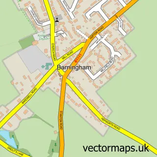
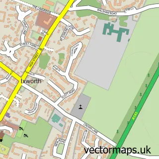
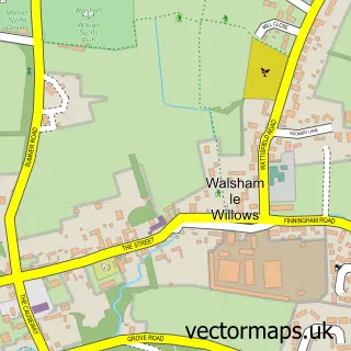
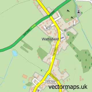
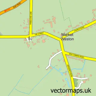
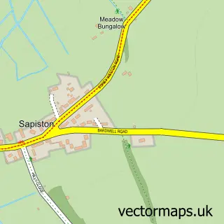
Nearby street map samples around Stanton


More street maps in Suffolk
750 metre map area coverage
Boundary, postcode and point of interest information for the 750m x 750m rectangle centred on this sample map.
Boundaries containing map centre
Constituency: Bury St. Edmunds and Stowmarket Co Const
County: Suffolk County
District: West Suffolk District
Icb: NHS Essex ICB
Parish: Stanton CP
Police Force: suffolk
Postcode District: IP31
Postcode Sector: IP31 2
Ward: Stanton Ward
Nearby boundaries intersecting sample
No additional intersecting boundaries found.
Postcode coverage
POI category counts
Convenience Store: 5
Church Cathedral: 3
Automotive Repair: 2
Building Supply Store: 2
Contractor: 2
Gas Station: 2
Post Office: 2
Anglican Church: 1
Automotive: 1
Beauty Salon: 1
Sample points of interest
- Stanton, All Saints
- Stanton Service Station
- Jack's RC Repair Shop
- Links Autos
- Harmony by Hannah
- A C Webb Electrical
- This & That Lorry Crane Hire Ltd.
- Stanton Hand Car Wash
- All Saints C of E Church
- All Saints Church
- St John the Baptist's Church
- Stanton Community Village Hall
Create a larger editable map of Stanton
This sample shows only a 750 metre area. To create a larger map of Stanton, use our map builder to choose your own coverage area, add titles and download editable SVG, PDF and PNG files.
Create a custom map of Stanton