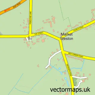
This Wattisfield street map is a detailed vector street map covering a 750m x 750m area. Select a larger area to create and download your own vector street map of Wattisfield.
The 750-metre map sample for Wattisfield covers 138 mapped buildings and approximately 13.3 km of road detail, of which 7 named roads are named. The immediate area includes 4 MOT stations within 2 miles. The wider area around Wattisfield features 1 tourism point of interest. To create a larger or custom map of Wattisfield, the map builder lets you define your own coverage area and download editable SVG, PDF and PNG files.
Create a larger editable map of Wattisfield
Choose any area you need and generate a high-quality vector map instantly. Perfect for print, planning, design, business and personal use.

This Wattisfield street map in Suffolk is available as downloadable SVG, PDF and PNG map files, or as a printed map for planning, business, display, education, local information and design work. You can also create a larger custom map area using the map selector.
What this Wattisfield map sample shows
Wattisfield lies within Wattisfield Cp parish, part of Walsham-Le-Willows ward in the Mid Suffolk District local authority area. The postcode geography for this area includes the IP postcode area, the IP22 postcode district and the IP22 1 postcode sector. Residents fall under the Nhs Suffolk And North East Essex Integrated Care Board for NHS services.
Local features near Wattisfield
Within 2 milesAmenities and services in and around Wattisfield.
Administrative and postcode information for Wattisfield
Wattisfield lies within Wattisfield Cp parish, part of Walsham-Le-Willows ward in the Mid Suffolk District local authority area. The postcode geography for this area includes the IP postcode area, the IP22 postcode district and the IP22 1 postcode sector. Residents fall under the Nhs Suffolk And North East Essex Integrated Care Board for NHS services.
Nearby street map samples around Wattisfield


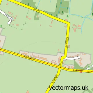
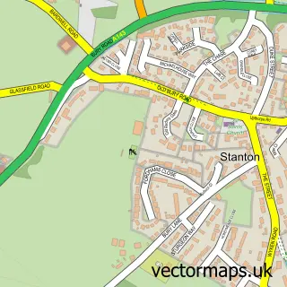
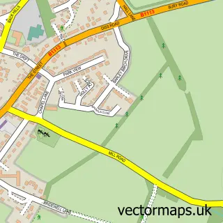
More street maps in Suffolk
750 metre map area coverage
Boundary, postcode and point of interest information for the 750m x 750m rectangle centred on this sample map.
Boundaries containing map centre
Constituency: Waveney Valley Co Const
County: Suffolk County
District: Mid Suffolk District
Icb: NHS Essex ICB
Parish: Wattisfield CP
Police Force: suffolk
Postcode District: IP22
Postcode Sector: IP22 1
Ward: Walsham-le-Willows Ward
Nearby boundaries intersecting sample
No additional intersecting boundaries found.
Postcode coverage
POI category counts
Anglican Church: 1
Antique Store: 1
Arts And Entertainment: 1
Attractions And Activities: 1
Beauty And Spa: 1
Building Supply Store: 1
Laboratory Testing: 1
Property Management: 1
Sample points of interest
- Wattisfield, St Margaret
- Royal Oak House
- Secret Garden Studio
- Wattisfield Community Garden
- SpaBarn
- Martin Goad
- Allclear Water Purifiers
- EICR Cert
Create a larger editable map of Wattisfield
This sample shows only a 750 metre area. To create a larger map of Wattisfield, use our map builder to choose your own coverage area, add titles and download editable SVG, PDF and PNG files.
Create a custom map of Wattisfield