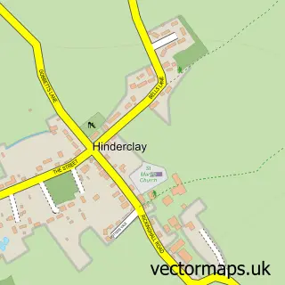
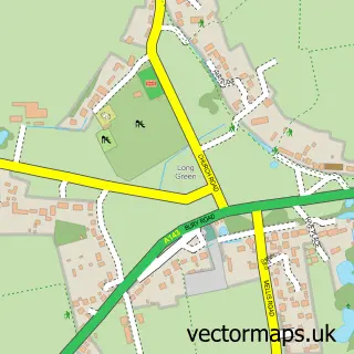
This Rickinghall street map is a detailed vector street map covering a 750m x 750m area. Select a larger area to create and download your own vector street map of Rickinghall.
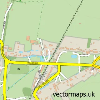
The 750-metre map sample for Rickinghall covers 236 mapped buildings and approximately 7.8 km of road detail, of which 9 named roads are named. The immediate area includes 1 GP surgery within 2 miles and 1 MOT station within 2 miles. To create a larger or custom map of Rickinghall, the map builder lets you define your own coverage area and download editable SVG, PDF and PNG files.
Create a larger editable map of Rickinghall
Choose any area you need and generate a high-quality vector map instantly. Perfect for print, planning, design, business and personal use.

This Rickinghall street map in Suffolk is available as downloadable SVG, PDF and PNG map files, or as a printed map for planning, business, display, education, local information and design work. You can also create a larger custom map area using the map selector.
What this Rickinghall map sample shows
Rickinghall lies within Botesdale Cp parish, part of Rickinghall ward in the Mid Suffolk District local authority area. The postcode geography for this area includes the IP postcode area, the IP22 postcode district and the IP22 1 postcode sector. Residents fall under the Nhs Suffolk And North East Essex Integrated Care Board for NHS services.
Local features near Rickinghall
Within 2 milesAmenities and services in and around Rickinghall.
Administrative and postcode information for Rickinghall
Rickinghall lies within Botesdale Cp parish, part of Rickinghall ward in the Mid Suffolk District local authority area. The postcode geography for this area includes the IP postcode area, the IP22 postcode district and the IP22 1 postcode sector. Residents fall under the Nhs Suffolk And North East Essex Integrated Care Board for NHS services.
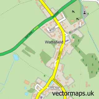
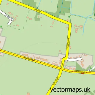
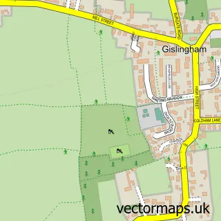
Nearby street map samples around Rickinghall

More street maps in Suffolk
750 metre map area coverage
Boundary, postcode and point of interest information for the 750m x 750m rectangle centred on this sample map.
Boundaries containing map centre
Constituency: Waveney Valley Co Const
County: Suffolk County
District: Mid Suffolk District
Icb: NHS Essex ICB
Parish: Rickinghall Superior CP
Police Force: suffolk
Postcode District: IP22
Postcode Sector: IP22 1
Ward: Rickinghall Ward
Nearby boundaries intersecting sample
Parish: Botesdale CP, Rickinghall Inferior CP
Postcode coverage
POI category counts
Supermarket: 2
Atms: 1
Marketing Consultant: 1
Package Locker: 1
Pet Groomer: 1
Post Office: 1
Professional Services: 1
Rental Kiosks: 1
Sample points of interest
- Central England Co-Op - Rickinghall
- Pegasus Personnel Consultancy
- InPost
- You Filthy Animal Pet Groomers
- Botesdale Post Office
- S.A Harrison
- Central England Co-Op @ Rickinghall 100652
- Central Co-op Food - Rickinghall
- The Co-operative Food - Rickinghall, Diss
Create a larger editable map of Rickinghall
This sample shows only a 750 metre area. To create a larger map of Rickinghall, use our map builder to choose your own coverage area, add titles and download editable SVG, PDF and PNG files.
Create a custom map of Rickinghall