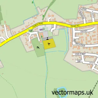
This Gislingham street map is a detailed vector street map covering a 750m x 750m area. Select a larger area to create and download your own vector street map of Gislingham.
The 750-metre map sample for Gislingham covers 234 mapped buildings and approximately 13.5 km of road detail, of which 14 named roads are named. The immediate area includes 1 school and 1 MOT station. The wider area around Gislingham features 1 food and drink venue and 1 campsite within 2 miles. To create a larger or custom map of Gislingham, the map builder lets you define your own coverage area and download editable SVG, PDF and PNG files.
Create a larger editable map of Gislingham
Choose any area you need and generate a high-quality vector map instantly. Perfect for print, planning, design, business and personal use.

This Gislingham street map in Suffolk is available as downloadable SVG, PDF and PNG map files, or as a printed map for planning, business, display, education, local information and design work. You can also create a larger custom map area using the map selector.
What this Gislingham map sample shows
Gislingham lies within Gislingham Cp parish, part of Gislingham ward in the Mid Suffolk District local authority area. The postcode geography for this area includes the IP postcode area, the IP23 postcode district and the IP23 8 postcode sector. Residents fall under the Nhs Suffolk And North East Essex Integrated Care Board for NHS services.
Local features near Gislingham
Within 2 milesAmenities and services in and around Gislingham.
Administrative and postcode information for Gislingham
Gislingham lies within Gislingham Cp parish, part of Gislingham ward in the Mid Suffolk District local authority area. The postcode geography for this area includes the IP postcode area, the IP23 postcode district and the IP23 8 postcode sector. Residents fall under the Nhs Suffolk And North East Essex Integrated Care Board for NHS services.
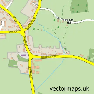
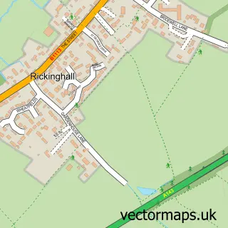
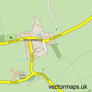
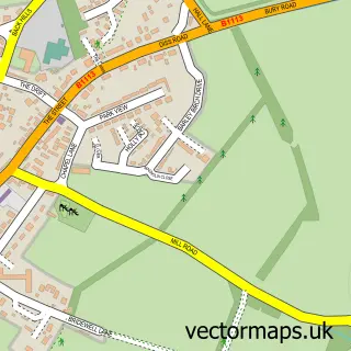
Nearby street map samples around Gislingham

More street maps in Suffolk
750 metre map area coverage
Boundary, postcode and point of interest information for the 750m x 750m rectangle centred on this sample map.
Boundaries containing map centre
Constituency: Waveney Valley Co Const
County: Suffolk County
District: Mid Suffolk District
Icb: NHS Essex ICB
Parish: Gislingham CP
Police Force: suffolk
Postcode District: IP23
Postcode Sector: IP23 8
Ward: Gislingham Ward
Nearby boundaries intersecting sample
No additional intersecting boundaries found.
Postcode coverage
POI category counts
Elementary School: 2
Bar: 1
Building Supply Store: 1
Caterer: 1
Coffee Shop: 1
Convenience Store: 1
Courier And Delivery Services: 1
Furniture Store: 1
Home Service: 1
Hvac Services: 1
Sample points of interest
- The Six Bells
- Abbeygate Roofing
- Harris's Hog Roast
- The Forge
- Costcutter
- Evri ParcelShop
- Gislingham C of E Voluntary Controlled Primary School
- Gislingham VC Primary School
- Fairies of Tranquility
- Gislingham Playgroup
- M A Heating Services
- Springtime Designs
Create a larger editable map of Gislingham
This sample shows only a 750 metre area. To create a larger map of Gislingham, use our map builder to choose your own coverage area, add titles and download editable SVG, PDF and PNG files.
Create a custom map of Gislingham