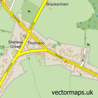
This Eye street map is a detailed vector street map covering a 750m x 750m area. Select a larger area to create and download your own vector street map of Eye.
The 750-metre map sample for Eye covers 383 mapped buildings and approximately 14.2 km of road detail, of which 31 named roads are named. The immediate area includes 1 school, 1 GP surgery within 2 miles, 1 pub and 3 MOT stations within 2 miles. The wider area around Eye features 1 tourism point of interest and 2 food and drink venues. To create a larger or custom map of Eye, the map builder lets you define your own coverage area and download editable SVG, PDF and PNG files.
Create a larger editable map of Eye
Choose any area you need and generate a high-quality vector map instantly. Perfect for print, planning, design, business and personal use.

This Eye street map in Suffolk is available as downloadable SVG, PDF and PNG map files, or as a printed map for planning, business, display, education, local information and design work. You can also create a larger custom map area using the map selector.
What this Eye map sample shows
Eye lies within Eye Cp parish, part of Eye ward in the Mid Suffolk District local authority area. The postcode geography for this area includes the IP postcode area, the IP23 postcode district and the IP23 7 postcode sector. Residents fall under the Nhs Suffolk And North East Essex Integrated Care Board for NHS services.
Local features near Eye
Within 2 milesAmenities and services in and around Eye.
Administrative and postcode information for Eye
Eye lies within Eye Cp parish, part of Eye ward in the Mid Suffolk District local authority area. The postcode geography for this area includes the IP postcode area, the IP23 postcode district and the IP23 7 postcode sector. Residents fall under the Nhs Suffolk And North East Essex Integrated Care Board for NHS services.
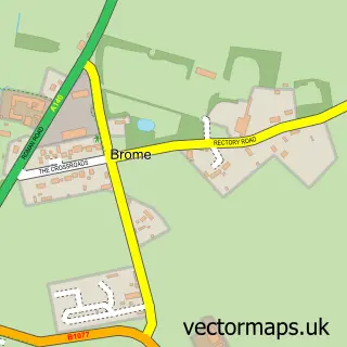
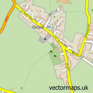
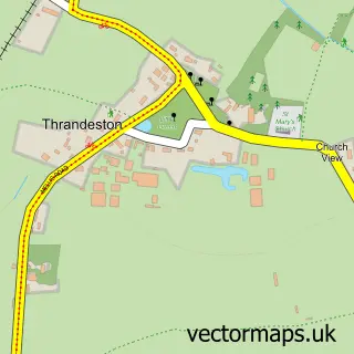
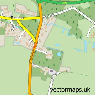
Nearby street map samples around Eye


More street maps in Suffolk
750 metre map area coverage
Boundary, postcode and point of interest information for the 750m x 750m rectangle centred on this sample map.
Boundaries containing map centre
Constituency: Waveney Valley Co Const
County: Suffolk County
District: Mid Suffolk District
Icb: NHS Essex ICB
Parish: Eye CP
Police Force: suffolk
Postcode District: IP23
Postcode Sector: IP23 7
Ward: Eye Ward
Nearby boundaries intersecting sample
No additional intersecting boundaries found.
Postcode coverage
POI category counts
Charity Organization: 4
Flowers And Gifts Shop: 4
Professional Services: 3
Anglican Church: 2
Antique Store: 2
Assisted Living Facility: 2
Bank Credit Union: 2
Barber: 2
Building Supply Store: 2
Business Management Services: 2
Sample points of interest
- Guy McGregor & Associates Accountants
- Eye Parish Church
- Ss Peter & Paul, Eye, Suffolk
- English & Continental Antiques
- Green Door Antiques
- Hucklesby Architects
- Gorniak & McKechnie Architects and Designers
- The Bank
- Popcraft
- Paddock House Residential Care Home
- Tacon Close Sheltered Housing
- K Automotive
Create a larger editable map of Eye
This sample shows only a 750 metre area. To create a larger map of Eye, use our map builder to choose your own coverage area, add titles and download editable SVG, PDF and PNG files.
Create a custom map of Eye