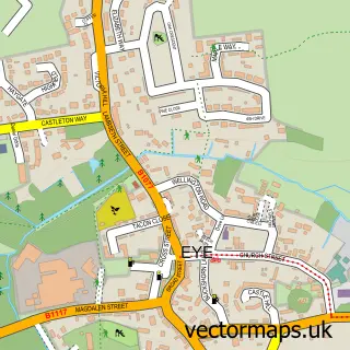
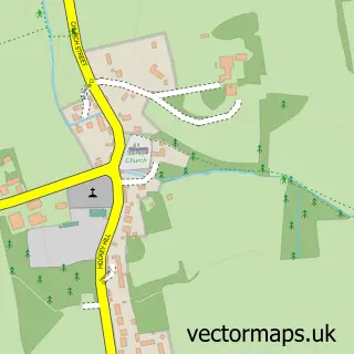
This Occold street map is a detailed vector street map covering a 750m x 750m area. Select a larger area to create and download your own vector street map of Occold.
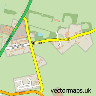
The 750-metre map sample for Occold covers 208 mapped buildings and approximately 13.7 km of road detail, of which 11 named roads are named. The immediate area includes 1 school and 1 pub. The wider area around Occold features 1 tourism point of interest and 1 food and drink venue. To create a larger or custom map of Occold, the map builder lets you define your own coverage area and download editable SVG, PDF and PNG files.
Create a larger editable map of Occold
Choose any area you need and generate a high-quality vector map instantly. Perfect for print, planning, design, business and personal use.

This Occold street map in Suffolk is available as downloadable SVG, PDF and PNG map files, or as a printed map for planning, business, display, education, local information and design work. You can also create a larger custom map area using the map selector.
What this Occold map sample shows
Occold lies within Occold Cp parish, part of Eye ward in the Mid Suffolk District local authority area. The postcode geography for this area includes the IP postcode area, the IP23 postcode district and the IP23 7 postcode sector. Residents fall under the Nhs Suffolk And North East Essex Integrated Care Board for NHS services.
Local features near Occold
Within 2 milesAmenities and services in and around Occold.
Administrative and postcode information for Occold
Occold lies within Occold Cp parish, part of Eye ward in the Mid Suffolk District local authority area. The postcode geography for this area includes the IP postcode area, the IP23 postcode district and the IP23 7 postcode sector. Residents fall under the Nhs Suffolk And North East Essex Integrated Care Board for NHS services.
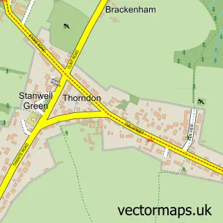
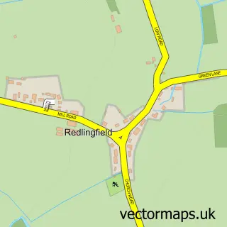
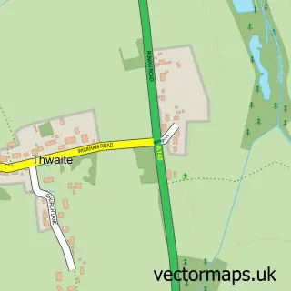
Nearby street map samples around Occold

More street maps in Suffolk
750 metre map area coverage
Boundary, postcode and point of interest information for the 750m x 750m rectangle centred on this sample map.
Boundaries containing map centre
Constituency: Waveney Valley Co Const
County: Suffolk County
District: Mid Suffolk District
Icb: NHS Essex ICB
Parish: Occold CP
Police Force: suffolk
Postcode District: IP23
Postcode Sector: IP23 7
Ward: Eye Ward
Nearby boundaries intersecting sample
No additional intersecting boundaries found.
Postcode coverage
POI category counts
Preschool: 2
Anglican Church: 1
Building Supply Store: 1
Campground: 1
Carpet Cleaning: 1
Caterer: 1
Church Cathedral: 1
Elementary School: 1
First Aid Class: 1
Home Cleaning: 1
Sample points of interest
- St Michael and All Angels, Occold
- Atlas Decorating Services
- Go Camping UK
- Crystal Clean Services
- Occold Village Hall
- Jubilee Baptist Church
- Occold Primary School
- East of England Training
- Scott Regan Window Cleaning
- Occold Pre-School
- Mepham Brickwork
- Jungle Cubs Preschool - Occold
Create a larger editable map of Occold
This sample shows only a 750 metre area. To create a larger map of Occold, use our map builder to choose your own coverage area, add titles and download editable SVG, PDF and PNG files.
Create a custom map of Occold