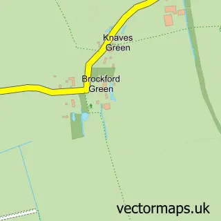
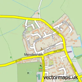
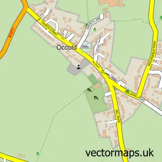
This Brockford Street street map is a detailed vector street map covering a 750m x 750m area. Select a larger area to create and download your own vector street map of Brockford Street.
The 750-metre map sample for Brockford Street covers 66 mapped buildings and approximately 9.1 km of road detail, of which 3 named roads are named. The immediate area includes 1 GP surgery within 2 miles and 1 MOT station, with 2 within 2 miles. The wider area around Brockford Street features 1 tourism point of interest and 2 food and drink venues. To create a larger or custom map of Brockford Street, the map builder lets you define your own coverage area and download editable SVG, PDF and PNG files.
Create a larger editable map of Brockford Street
Choose any area you need and generate a high-quality vector map instantly. Perfect for print, planning, design, business and personal use.

This Brockford Street street map in Suffolk is available as downloadable SVG, PDF and PNG map files, or as a printed map for planning, business, display, education, local information and design work. You can also create a larger custom map area using the map selector.
What this Brockford Street map sample shows
Brockford Street lies within Wetheringsett-Cum-Brockford Cp parish, part of Mendlesham ward in the Mid Suffolk District local authority area. The postcode geography for this area includes the IP postcode area, the IP14 postcode district and the IP14 5 postcode sector. Residents fall under the Nhs Suffolk And North East Essex Integrated Care Board for NHS services.
Local features near Brockford Street
Within 2 milesAmenities and services in and around Brockford Street.
Administrative and postcode information for Brockford Street
Brockford Street lies within Wetheringsett-Cum-Brockford Cp parish, part of Mendlesham ward in the Mid Suffolk District local authority area. The postcode geography for this area includes the IP postcode area, the IP14 postcode district and the IP14 5 postcode sector. Residents fall under the Nhs Suffolk And North East Essex Integrated Care Board for NHS services.
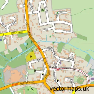
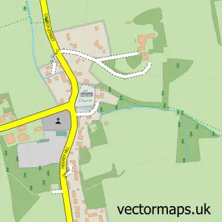
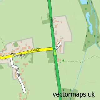
Nearby street map samples around Brockford Street

More street maps in Suffolk
750 metre map area coverage
Boundary, postcode and point of interest information for the 750m x 750m rectangle centred on this sample map.
Boundaries containing map centre
Constituency: Waveney Valley Co Const
County: Suffolk County
District: Mid Suffolk District
Icb: NHS Essex ICB
Parish: Wetheringsett-cum-Brockford CP
Police Force: suffolk
Postcode District: IP14
Postcode Sector: IP14 5
Ward: Mendlesham Ward
Nearby boundaries intersecting sample
Parish: Thwaite CP
Ward: Palgrave Ward
Postcode coverage
POI category counts
Coffee Shop: 2
Gas Station: 2
Auto Detailing: 1
Convenience Store: 1
Landmark And Historical Building: 1
Package Locker: 1
Truck Gas Station: 1
Sample points of interest
- Alexs Brockford Prestige Car Wash and Detailing Center
- Costa Express
- Wild Bean Cafe
- Premier
- BP
- Brockford Garage
- Brockford Street, Suffolk
- InPost
- KARAN BROCKFORD GARAGE
Create a larger editable map of Brockford Street
This sample shows only a 750 metre area. To create a larger map of Brockford Street, use our map builder to choose your own coverage area, add titles and download editable SVG, PDF and PNG files.
Create a custom map of Brockford Street