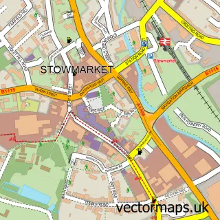
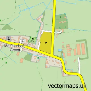
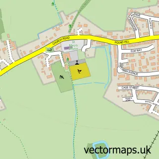
This Mendlesham street map is a detailed vector street map covering a 750m x 750m area. Select a larger area to create and download your own vector street map of Mendlesham.
The 750-metre map sample for Mendlesham covers 280 mapped buildings and approximately 12.2 km of road detail, of which 18 named roads are named. The immediate area includes 1 school, 1 GP surgery, 1 pub and 2 MOT stations within 2 miles. The wider area around Mendlesham features 1 food and drink venue. To create a larger or custom map of Mendlesham, the map builder lets you define your own coverage area and download editable SVG, PDF and PNG files.
Create a larger editable map of Mendlesham
Choose any area you need and generate a high-quality vector map instantly. Perfect for print, planning, design, business and personal use.

This Mendlesham street map in Suffolk is available as downloadable SVG, PDF and PNG map files, or as a printed map for planning, business, display, education, local information and design work. You can also create a larger custom map area using the map selector.
What this Mendlesham map sample shows
Mendlesham lies within Mendlesham Cp parish, part of Mendlesham ward in the Mid Suffolk District local authority area. The postcode geography for this area includes the IP postcode area, the IP14 postcode district and the IP14 5 postcode sector. Residents fall under the Nhs Suffolk And North East Essex Integrated Care Board for NHS services.
Local features near Mendlesham
Within 2 milesAmenities and services in and around Mendlesham.
Administrative and postcode information for Mendlesham
Mendlesham lies within Mendlesham Cp parish, part of Mendlesham ward in the Mid Suffolk District local authority area. The postcode geography for this area includes the IP postcode area, the IP14 postcode district and the IP14 5 postcode sector. Residents fall under the Nhs Suffolk And North East Essex Integrated Care Board for NHS services.
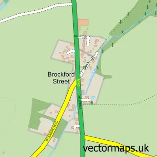
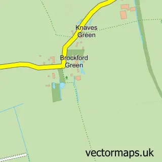
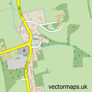
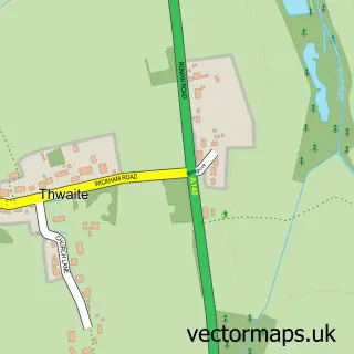
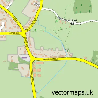
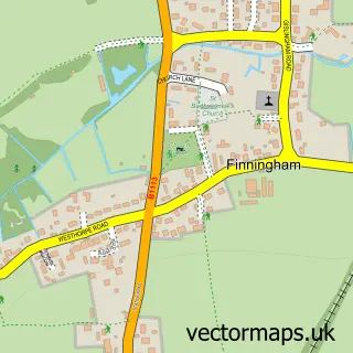
Nearby street map samples around Mendlesham

More street maps in Suffolk
750 metre map area coverage
Boundary, postcode and point of interest information for the 750m x 750m rectangle centred on this sample map.
Boundaries containing map centre
Constituency: Waveney Valley Co Const
County: Suffolk County
District: Mid Suffolk District
Icb: NHS Essex ICB
Parish: Mendlesham CP
Police Force: suffolk
Postcode District: IP14
Postcode Sector: IP14 5
Ward: Mendlesham Ward
Nearby boundaries intersecting sample
No additional intersecting boundaries found.
Postcode coverage
POI category counts
Post Office: 3
Dance Club: 2
Professional Services: 2
Barber: 1
Church Cathedral: 1
Community Center: 1
Convenience Store: 1
Currency Exchange: 1
Doctor: 1
Elementary School: 1
Sample points of interest
- The Hair Studio at Mendlesham
- St Mary the Virgin Mendlesham
- Mendlesham Community Centre
- Premier Mendlesham Bakery
- Post Office Travel Money
- Night To Remember Mobile Disco's
- Night To Remember Mobile Disco's
- Mendlesham Medical Group
- Mendlesham Primary School
- Mendlesham Fish and Chip Shop
- Cuttings Barn Flower Farm
- Strub UK Ltd.
Create a larger editable map of Mendlesham
This sample shows only a 750 metre area. To create a larger map of Mendlesham, use our map builder to choose your own coverage area, add titles and download editable SVG, PDF and PNG files.
Create a custom map of Mendlesham