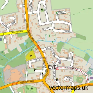
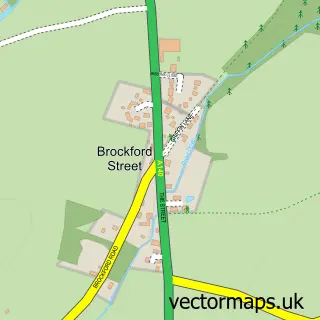
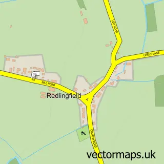
This Thorndon street map is a detailed vector street map covering a 750m x 750m area. Select a larger area to create and download your own vector street map of Thorndon.
The 750-metre map sample for Thorndon covers 205 mapped buildings and approximately 7.4 km of road detail, of which 6 named roads are named. The immediate area includes 1 pub. The wider area around Thorndon features 1 food and drink venue. To create a larger or custom map of Thorndon, the map builder lets you define your own coverage area and download editable SVG, PDF and PNG files.
Create a larger editable map of Thorndon
Choose any area you need and generate a high-quality vector map instantly. Perfect for print, planning, design, business and personal use.

This Thorndon street map in Suffolk is available as downloadable SVG, PDF and PNG map files, or as a printed map for planning, business, display, education, local information and design work. You can also create a larger custom map area using the map selector.
What this Thorndon map sample shows
Thorndon lies within Thorndon Cp parish, part of Mendlesham ward in the Mid Suffolk District local authority area. The postcode geography for this area includes the IP postcode area, the IP23 postcode district and the IP23 7 postcode sector. Residents fall under the Nhs Suffolk And North East Essex Integrated Care Board for NHS services.
Local features near Thorndon
Within 2 milesAmenities and services in and around Thorndon.
Administrative and postcode information for Thorndon
The local authority covering Thorndon is Mid Suffolk District, within the county of Suffolk. The settlement lies within Mendlesham ward and Thorndon Cp civil parish. The IP23 postcode district and IP23 7 postcode sector serve the immediate area. NHS provision in the area is delivered through East Suffolk And North Essex Nhs Foundation Trust.
Nearby street map samples around Thorndon

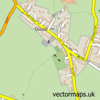
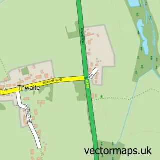
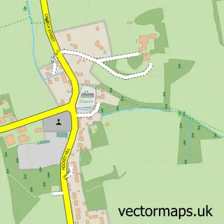
More street maps in Suffolk
750 metre map area coverage
Boundary, postcode and point of interest information for the 750m x 750m rectangle centred on this sample map.
Boundaries containing map centre
Constituency: Waveney Valley Co Const
County: Suffolk County
District: Mid Suffolk District
Icb: NHS Essex ICB
Parish: Thorndon CP
Police Force: suffolk
Postcode District: IP23
Postcode Sector: IP23 7
Ward: Mendlesham Ward
Nearby boundaries intersecting sample
No additional intersecting boundaries found.
Postcode coverage
POI category counts
Electrician: 2
Church Cathedral: 1
Elementary School: 1
Media Agency: 1
Monument: 1
Party Supply: 1
Preschool: 1
Pub: 1
Real Estate: 1
Sports Club And League: 1
Sample points of interest
- All Saints Church, Thorndon
- Robin Moore Electrical
- Robin Moore Electrical
- Thorndon CEVC Primary
- martin chambers media
- Thorndon
- Zebedee Castles
- Jungle Cubs Preschool - Wetheringsett
- The Black Horse Inn
- The Clock Tower
- Thorndon Bowls Club
Create a larger editable map of Thorndon
This sample shows only a 750 metre area. To create a larger map of Thorndon, use our map builder to choose your own coverage area, add titles and download editable SVG, PDF and PNG files.
Create a custom map of Thorndon