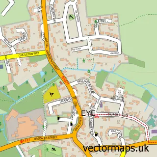
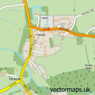
This Brome street map is a detailed vector street map covering a 750m x 750m area. Select a larger area to create and download your own vector street map of Brome.
The 750-metre map sample for Brome covers 92 mapped buildings and approximately 5.1 km of road detail, of which 2 named roads are named. The immediate area includes 1 GP surgery within 2 miles and 10 MOT stations within 2 miles. The wider area around Brome features 1 tourism point of interest and 3 hotels. To create a larger or custom map of Brome, the map builder lets you define your own coverage area and download editable SVG, PDF and PNG files.
Create a larger editable map of Brome
Choose any area you need and generate a high-quality vector map instantly. Perfect for print, planning, design, business and personal use.

This Brome street map in Suffolk is available as downloadable SVG, PDF and PNG map files, or as a printed map for planning, business, display, education, local information and design work. You can also create a larger custom map area using the map selector.
What this Brome map sample shows
Brome lies within Brome And Oakley Cp parish, part of Palgrave ward in the Mid Suffolk District local authority area. The postcode geography for this area includes the IP postcode area, the IP23 postcode district and the IP23 8 postcode sector. Residents fall under the Nhs Suffolk And North East Essex Integrated Care Board for NHS services.
Local features near Brome
Within 2 milesAmenities and services in and around Brome.
Administrative and postcode information for Brome
Brome lies within Brome And Oakley Cp parish, part of Palgrave ward in the Mid Suffolk District local authority area. The postcode geography for this area includes the IP postcode area, the IP23 postcode district and the IP23 8 postcode sector. Residents fall under the Nhs Suffolk And North East Essex Integrated Care Board for NHS services.
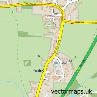
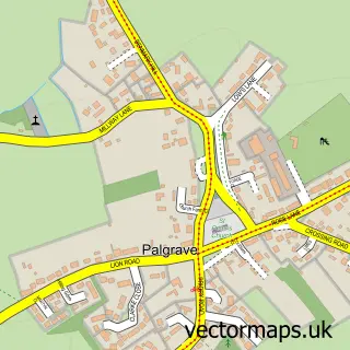
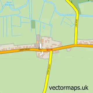
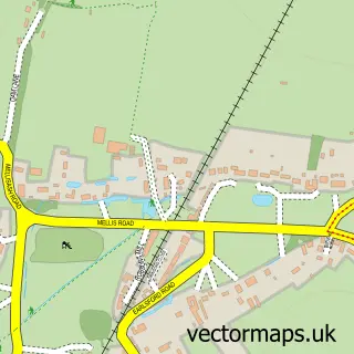
Nearby street map samples around Brome

More street maps in Suffolk
750 metre map area coverage
Boundary, postcode and point of interest information for the 750m x 750m rectangle centred on this sample map.
Boundaries containing map centre
Constituency: Waveney Valley Co Const
County: Suffolk County
District: Mid Suffolk District
Icb: NHS Essex ICB
Parish: Brome and Oakley CP
Police Force: suffolk
Postcode District: IP23
Postcode Sector: IP23 8
Ward: Palgrave Ward
Nearby boundaries intersecting sample
Postcode Sector: IP23 7
Postcode coverage
POI category counts
Hotel: 3
Auto Customization: 1
Electrical Supply Store: 1
Landmark And Historical Building: 1
Self Storage Facility: 1
Spas: 1
Water Purification Services: 1
Water Treatment Equipment And Services: 1
Sample points of interest
- Hybrid Tune
- Renvale Ltd.
- Best Western Brome Grange Hotel
- Cornwallis Hotel
- The Oaksmere
- Brome, Suffolk
- A140 Self Storage Warehouse
- Willow Spa and Gym
- A.D. Veale Water Softeners Ltd.
- Clarity Water Solutions
Create a larger editable map of Brome
This sample shows only a 750 metre area. To create a larger map of Brome, use our map builder to choose your own coverage area, add titles and download editable SVG, PDF and PNG files.
Create a custom map of Brome