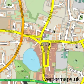
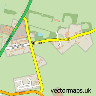
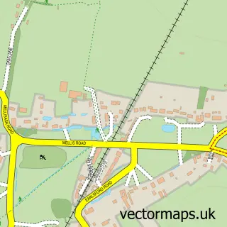
This Palgrave street map is a detailed vector street map covering a 750m x 750m area. Select a larger area to create and download your own vector street map of Palgrave.
The 750-metre map sample for Palgrave covers 283 mapped buildings and approximately 13.8 km of road detail, of which 17 named roads are named. The immediate area includes 1 school, 2 GP surgeries within 2 miles and 1 MOT station, with 10 within 2 miles. To create a larger or custom map of Palgrave, the map builder lets you define your own coverage area and download editable SVG, PDF and PNG files.
Create a larger editable map of Palgrave
Choose any area you need and generate a high-quality vector map instantly. Perfect for print, planning, design, business and personal use.

This Palgrave street map in Suffolk is available as downloadable SVG, PDF and PNG map files, or as a printed map for planning, business, display, education, local information and design work. You can also create a larger custom map area using the map selector.
What this Palgrave map sample shows
Palgrave lies within Palgrave Cp parish, part of Palgrave ward in the Mid Suffolk District local authority area. The postcode geography for this area includes the IP postcode area, the IP22 postcode district and the IP22 1 postcode sector. Residents fall under the Nhs Suffolk And North East Essex Integrated Care Board for NHS services.
Local features near Palgrave
Within 2 milesAmenities and services in and around Palgrave.
Administrative and postcode information for Palgrave
The local authority covering Palgrave is Mid Suffolk District, within the county of Suffolk. The settlement lies within Palgrave ward and Palgrave Cp civil parish. The IP22 postcode district and IP22 1 postcode sector serve the immediate area. NHS provision in the area is delivered through East Suffolk And North Essex Nhs Foundation Trust.
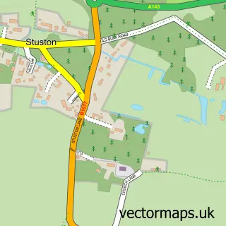
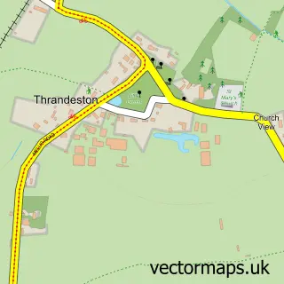
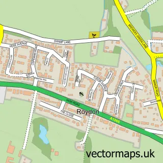
Nearby street map samples around Palgrave

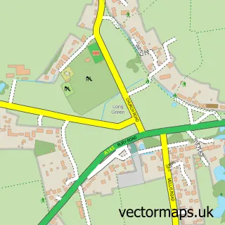
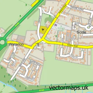
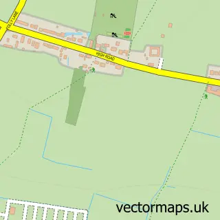
More street maps in Suffolk
750 metre map area coverage
Boundary, postcode and point of interest information for the 750m x 750m rectangle centred on this sample map.
Boundaries containing map centre
Constituency: Waveney Valley Co Const
County: Suffolk County
District: Mid Suffolk District
Icb: NHS Essex ICB
Parish: Palgrave CP
Police Force: suffolk
Postcode District: IP22
Postcode Sector: IP22 1
Ward: Palgrave Ward
Nearby boundaries intersecting sample
No additional intersecting boundaries found.
Postcode coverage
POI category counts
Anglican Church: 1
Auto Body Shop: 1
Automotive Repair: 1
Building Supply Store: 1
Caterer: 1
Cinema: 1
Community Center: 1
Electrician: 1
Elementary School: 1
Financial Service: 1
Sample points of interest
- Palgrave, St Peter
- Auto Aid UK
- Diss Accident Repair Centre
- The Curtain Gallery
- C M a
- Palgrave Cinema
- Palgrave Community Centre
- Peachey
- Palgrave Primary School
- Hoyt Moxon
- East Anglian Hog Roast Company
- SongBird Survival
Create a larger editable map of Palgrave
This sample shows only a 750 metre area. To create a larger map of Palgrave, use our map builder to choose your own coverage area, add titles and download editable SVG, PDF and PNG files.
Create a custom map of Palgrave