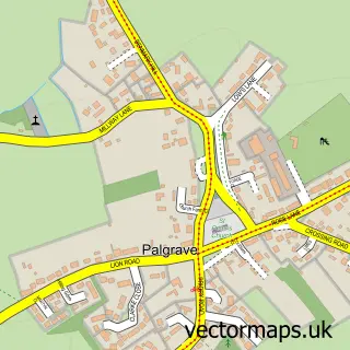
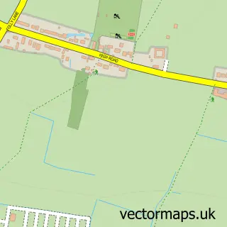
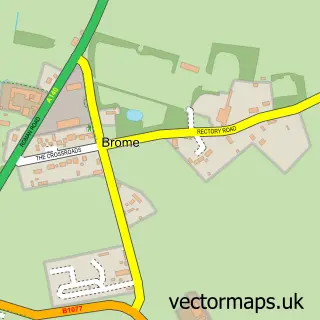
This Diss street map is a detailed vector street map covering a 750m x 750m area. Select a larger area to create and download your own vector street map of Diss.
The 750-metre map sample for Diss covers 380 mapped buildings and approximately 13.7 km of road detail, of which 32 named roads are named. The immediate area includes 1 school, 2 GP surgeries, 9 pubs and 2 MOT stations, with 10 within 2 miles. The wider area around Diss features 4 tourism points of interest, 23 food and drink venues and 1 hotel. To create a larger or custom map of Diss, the map builder lets you define your own coverage area and download editable SVG, PDF and PNG files.
Create a larger editable map of Diss
Choose any area you need and generate a high-quality vector map instantly. Perfect for print, planning, design, business and personal use.

This Diss street map in Norfolk is available as downloadable SVG, PDF and PNG map files, or as a printed map for planning, business, display, education, local information and design work. You can also create a larger custom map area using the map selector.
What this Diss map sample shows
Diss lies within Diss Cp parish, part of Diss & Roydon ward in the South Norfolk District local authority area. The postcode geography for this area includes the IP postcode area, the IP22 postcode district and the IP22 4 postcode sector. Residents fall under the Nhs Norfolk And Waveney Integrated Care Board for NHS services.
Local features near Diss
Within 2 milesAmenities and services in and around Diss.
Administrative and postcode information for Diss
Diss lies within Diss Cp parish, part of Diss & Roydon ward in the South Norfolk District local authority area. The postcode geography for this area includes the IP postcode area, the IP22 postcode district and the IP22 4 postcode sector. Residents fall under the Nhs Norfolk And Waveney Integrated Care Board for NHS services.
Nearby street map samples around Diss

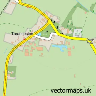
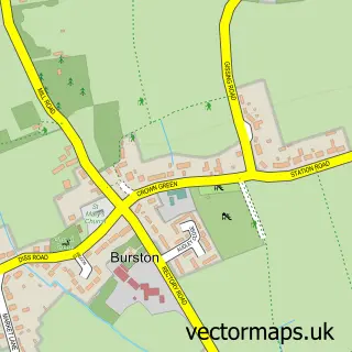
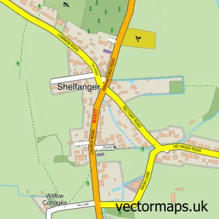
More street maps in Norfolk
750 metre map area coverage
Boundary, postcode and point of interest information for the 750m x 750m rectangle centred on this sample map.
Boundaries containing map centre
Constituency: Waveney Valley Co Const
County: Norfolk County
District: South Norfolk District
Icb: NHS Norfolk and Waveney ICB
Parish: Diss CP
Police Force: norfolk
Postcode District: IP22
Postcode Sector: IP22 4
Ward: Diss & Roydon Ward
Nearby boundaries intersecting sample
No additional intersecting boundaries found.
Postcode coverage
POI category counts
Beauty Salon: 12
Pub: 9
Flowers And Gifts Shop: 8
Hair Salon: 8
Real Estate Agent: 8
Bank Credit Union: 7
Pizza Restaurant: 7
Banks: 5
Barber: 5
Beauty And Spa: 5
Sample points of interest
- Splice Creative
- Vivid Interface
- White Horse
- Diss: St Mary the Virgin
- Diss Antiques & Interiors
- Number 13 Antiques and Collectibles
- Sue Ryder Care
- A W Myhill
- myhills euronics
- Octagon Contemporary Crafts
- Albright of Diss
- Designermakers 21
Create a larger editable map of Diss
This sample shows only a 750 metre area. To create a larger map of Diss, use our map builder to choose your own coverage area, add titles and download editable SVG, PDF and PNG files.
Create a custom map of Diss