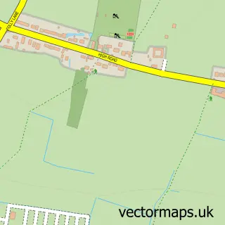
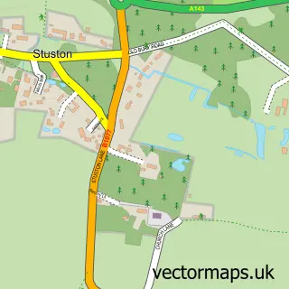
This Shelfanger street map is a detailed vector street map covering a 750m x 750m area. Select a larger area to create and download your own vector street map of Shelfanger.
The 750-metre map sample for Shelfanger covers 147 mapped buildings and approximately 8.2 km of road detail, of which 11 named roads are named. The immediate area includes 1 MOT station within 2 miles. To create a larger or custom map of Shelfanger, the map builder lets you define your own coverage area and download editable SVG, PDF and PNG files.
Create a larger editable map of Shelfanger
Choose any area you need and generate a high-quality vector map instantly. Perfect for print, planning, design, business and personal use.

This Shelfanger street map in Norfolk is available as downloadable SVG, PDF and PNG map files, or as a printed map for planning, business, display, education, local information and design work. You can also create a larger custom map area using the map selector.
What this Shelfanger map sample shows
Shelfanger lies within Shelfanger Cp parish, part of Bressingham & Burston ward in the South Norfolk District local authority area. The postcode geography for this area includes the IP postcode area, the IP22 postcode district and the IP22 2 postcode sector. Residents fall under the Nhs Norfolk And Waveney Integrated Care Board for NHS services.
Local features near Shelfanger
Within 2 milesAmenities and services in and around Shelfanger.
Administrative and postcode information for Shelfanger
The local authority covering Shelfanger is South Norfolk District, within the county of Norfolk. The settlement lies within Bressingham & Burston ward and Shelfanger Cp civil parish. The IP22 postcode district and IP22 2 postcode sector serve the immediate area. NHS provision in the area is delivered through Norfolk And Norwich University Hospitals Nhs Foundation Trust.
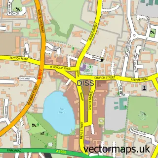
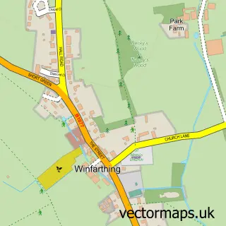
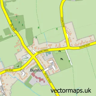
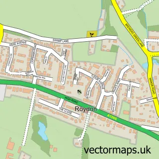
Nearby street map samples around Shelfanger

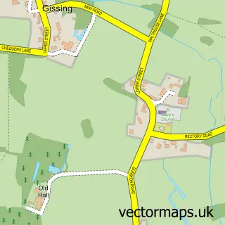
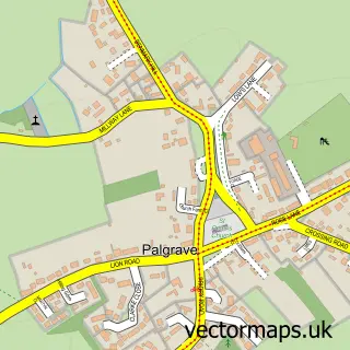
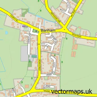
More street maps in Norfolk
750 metre map area coverage
Boundary, postcode and point of interest information for the 750m x 750m rectangle centred on this sample map.
Boundaries containing map centre
Constituency: Waveney Valley Co Const
County: Norfolk County
District: South Norfolk District
Icb: NHS Norfolk and Waveney ICB
Parish: Shelfanger CP
Police Force: norfolk
Postcode District: IP22
Postcode Sector: IP22 2
Ward: Bressingham & Burston Ward
Nearby boundaries intersecting sample
Parish: Winfarthing CP
Postcode coverage
POI category counts
Taxi Service: 5
Plumbing: 2
Advertising Agency: 1
Anglican Church: 1
Community Center: 1
Contractor: 1
Glass Blowing: 1
Industrial Equipment: 1
Pet Services: 1
Recycling Center: 1
Sample points of interest
- Smith
- Shelfanger All Saints
- Shelfanger Village Hall & Social Club
- Green Warm Roofs
- K & C Mouldings Ltd.
- K & C Mouldings England
- Shelfanger Livery
- DJ Matthews Plumbing and Heating
- MDB Plumbing
- British Heart Foundation
- Lake and Pond Aquatics Ltd
- J B Taxis
Create a larger editable map of Shelfanger
This sample shows only a 750 metre area. To create a larger map of Shelfanger, use our map builder to choose your own coverage area, add titles and download editable SVG, PDF and PNG files.
Create a custom map of Shelfanger