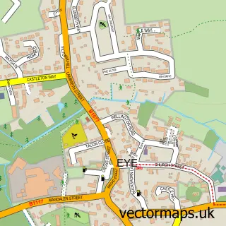
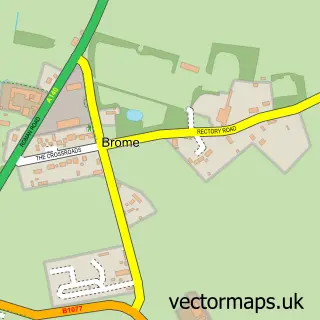
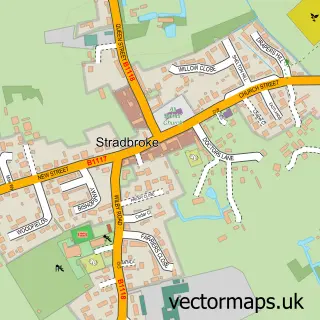
This Hoxne street map is a detailed vector street map covering a 750m x 750m area. Select a larger area to create and download your own vector street map of Hoxne.
The 750-metre map sample for Hoxne covers 108 mapped buildings and approximately 9.1 km of road detail, of which 7 named roads are named. The immediate area includes 1 pub. The wider area around Hoxne features 1 food and drink venue. To create a larger or custom map of Hoxne, the map builder lets you define your own coverage area and download editable SVG, PDF and PNG files.
Create a larger editable map of Hoxne
Choose any area you need and generate a high-quality vector map instantly. Perfect for print, planning, design, business and personal use.

This Hoxne street map in Suffolk is available as downloadable SVG, PDF and PNG map files, or as a printed map for planning, business, display, education, local information and design work. You can also create a larger custom map area using the map selector.
What this Hoxne map sample shows
Hoxne lies within Hoxne Cp parish, part of Hoxne & Worlingworth ward in the Mid Suffolk District local authority area. The postcode geography for this area includes the IP postcode area, the IP21 postcode district and the IP21 5 postcode sector. Residents fall under the Nhs Suffolk And North East Essex Integrated Care Board for NHS services.
Local features near Hoxne
Within 2 milesAmenities and services in and around Hoxne.
Administrative and postcode information for Hoxne
Hoxne lies within Hoxne Cp parish, part of Hoxne & Worlingworth ward in the Mid Suffolk District local authority area. The postcode geography for this area includes the IP postcode area, the IP21 postcode district and the IP21 5 postcode sector. Residents fall under the Nhs Suffolk And North East Essex Integrated Care Board for NHS services.
Nearby street map samples around Hoxne

More street maps in Suffolk
750 metre map area coverage
Boundary, postcode and point of interest information for the 750m x 750m rectangle centred on this sample map.
Boundaries containing map centre
Constituency: Waveney Valley Co Const
County: Suffolk County
District: Mid Suffolk District
Icb: NHS Essex ICB
Parish: Hoxne CP
Police Force: suffolk
Postcode District: IP21
Postcode Sector: IP21 5
Ward: Hoxne & Worlingworth Ward
Nearby boundaries intersecting sample
No additional intersecting boundaries found.
Postcode coverage
POI category counts
Church Cathedral: 2
Post Office: 2
Anglican Church: 1
Auto Upholstery: 1
Community Center: 1
Holiday Rental Home: 1
Pet Store: 1
Pub: 1
Real Estate Agent: 1
Sample points of interest
- Hoxne, St Peter & St Paul with St Edmund
- Dorothy Sinfield Upholstery
- Hoxne Church
- St Peter and St Paul's Church
- Hoxne Village Hall
- Ploughman's Cottage
- Skinners Pet Foods
- Post Office
- Post Office-Hoxne
- The Swan Inn Of Hoxne
- Ceada
Create a larger editable map of Hoxne
This sample shows only a 750 metre area. To create a larger map of Hoxne, use our map builder to choose your own coverage area, add titles and download editable SVG, PDF and PNG files.
Create a custom map of Hoxne