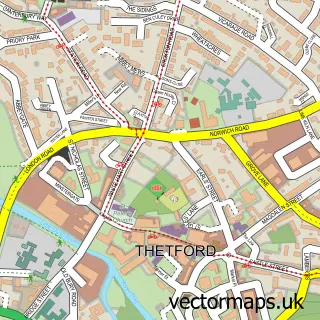
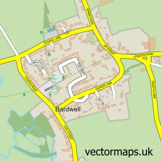
This Barningham street map is a detailed vector street map covering a 750m x 750m area. Select a larger area to create and download your own vector street map of Barningham.
The 750-metre map sample for Barningham covers 286 mapped buildings and approximately 11.7 km of road detail, of which 13 named roads are named. The immediate area includes 1 school, 1 GP surgery within 2 miles and 1 pub. The wider area around Barningham features 1 food and drink venue and 1 campsite within 2 miles. To create a larger or custom map of Barningham, the map builder lets you define your own coverage area and download editable SVG, PDF and PNG files.
Create a larger editable map of Barningham
Choose any area you need and generate a high-quality vector map instantly. Perfect for print, planning, design, business and personal use.

This Barningham street map in Suffolk is available as downloadable SVG, PDF and PNG map files, or as a printed map for planning, business, display, education, local information and design work. You can also create a larger custom map area using the map selector.
What this Barningham map sample shows
Barningham lies within Barningham Cp parish, part of Barningham ward in the West Suffolk District local authority area. The postcode geography for this area includes the IP postcode area, the IP31 postcode district and the IP31 1 postcode sector. Residents fall under the Nhs Suffolk And North East Essex Integrated Care Board for NHS services.
Local features near Barningham
Within 2 milesAmenities and services in and around Barningham.
Administrative and postcode information for Barningham
Barningham lies within Barningham Cp parish, part of Barningham ward in the West Suffolk District local authority area. The postcode geography for this area includes the IP postcode area, the IP31 postcode district and the IP31 1 postcode sector. Residents fall under the Nhs Suffolk And North East Essex Integrated Care Board for NHS services.
Nearby street map samples around Barningham


More street maps in Suffolk
750 metre map area coverage
Boundary, postcode and point of interest information for the 750m x 750m rectangle centred on this sample map.
Boundaries containing map centre
Constituency: Bury St. Edmunds and Stowmarket Co Const
County: Suffolk County
District: West Suffolk District
Icb: NHS Essex ICB
Parish: Barningham CP
Police Force: suffolk
Postcode District: IP31
Postcode Sector: IP31 1
Ward: Barningham Ward
Nearby boundaries intersecting sample
No additional intersecting boundaries found.
Postcode coverage
POI category counts
Convenience Store: 3
Driving School: 2
Anglican Church: 1
Atms: 1
Contractor: 1
Currency Exchange: 1
Education: 1
Elementary School: 1
Flowers And Gifts Shop: 1
Furniture Assembly: 1
Sample points of interest
- Barningham, St Andrew
- BR Spar Barningham
- Ben Barber Carpentry & Restoration
- SPAR
- SPAR Barningham
- Spar
- Post Office Travel Money
- Hill's Start Driver Training
- Nexus Driver Training
- Tinytalk Stowmarket
- Barningham C of E VCP Primary School
- Paigles
Create a larger editable map of Barningham
This sample shows only a 750 metre area. To create a larger map of Barningham, use our map builder to choose your own coverage area, add titles and download editable SVG, PDF and PNG files.
Create a custom map of Barningham