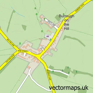
This Tilton on the Hill street map is a detailed vector street map covering a 750m x 750m area. Select a larger area to create and download your own vector street map of Tilton on the Hill.
The 750-metre map sample for Tilton on the Hill covers 172 mapped buildings and approximately 17.8 km of road detail, of which 11 named roads are named. The immediate area includes 2 pubs. The wider area around Tilton on the Hill features 2 food and drink venues. To create a larger or custom map of Tilton on the Hill, the map builder lets you define your own coverage area and download editable SVG, PDF and PNG files.
Create a larger editable map of Tilton on the Hill
Choose any area you need and generate a high-quality vector map instantly. Perfect for print, planning, design, business and personal use.

This Tilton on the Hill street map in Leicestershire is available as downloadable SVG, PDF and PNG map files, or as a printed map for planning, business, display, education, local information and design work. You can also create a larger custom map area using the map selector.
What this Tilton on the Hill map sample shows
Tilton on the Hill lies within Tilton On The Hill And Halstead Cp parish, part of Billesdon & Tilton ward in the Harborough District local authority area. The postcode geography for this area includes the LE postcode area, the LE7 postcode district and the LE7 9 postcode sector. Residents fall under the Nhs Leicester, Leicestershire And Rutland Integrated Care Board for NHS services.
Local features near Tilton on the Hill
Within 2 milesAmenities and services in and around Tilton on the Hill.
Administrative and postcode information for Tilton on the Hill
The local authority covering Tilton on the Hill is Harborough District, within the county of Leicestershire. The settlement lies within Billesdon & Tilton ward and Tilton On The Hill And Halstead Cp civil parish. The LE7 postcode district and LE7 9 postcode sector serve the immediate area. NHS provision in the area is delivered through University Hospitals Of Leicester Nhs Trust.
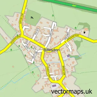
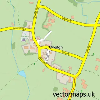
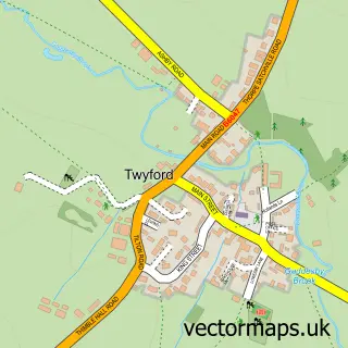
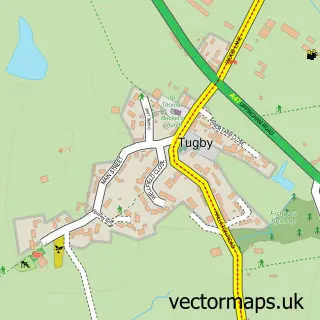
Nearby street map samples around Tilton on the Hill

More street maps in Leicestershire
750 metre map area coverage
Boundary, postcode and point of interest information for the 750m x 750m rectangle centred on this sample map.
Boundaries containing map centre
Constituency: Rutland and Stamford Co Const
County: Leicestershire County
District: Harborough District
Icb: NHS Leicester Leicestershire and Rutland ICB
Parish: Tilton on the Hill and Halstead CP
Police Force: leicestershire
Postcode District: LE7
Postcode Sector: LE7 9
Ward: Billesdon & Tilton Ward
Nearby boundaries intersecting sample
Parish: Cold Newton CP
Postcode coverage
POI category counts
Pub: 2
Shipping Center: 2
Advertising Agency: 1
Anglican Church: 1
Beauty Salon: 1
Building Supply Store: 1
Church Cathedral: 1
Cinema: 1
Contractor: 1
Convenience Store: 1
Sample points of interest
- Stocks Design
- Tilton-on-the-Hill: St Peter
- Peppermint Nails
- Letts Electrical Services
- St Peter's Church
- Flicks on the Hill Community Cinema
- B Richardson & Son System Engineers
- Tilton Village Stores
- Tiddlywinks Pre School , Tilton on the Hill
- Tilton Happy Tails Dog Walking
- Trojan Manufacturing (UK)
- Post Office
Create a larger editable map of Tilton on the Hill
This sample shows only a 750 metre area. To create a larger map of Tilton on the Hill, use our map builder to choose your own coverage area, add titles and download editable SVG, PDF and PNG files.
Create a custom map of Tilton on the Hill