This Torcross street map is a detailed vector street map covering a 750m x 750m area. Select a larger area to create and download your own vector street map of Torcross.
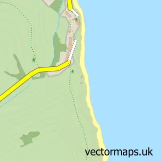
The 750-metre map sample for Torcross covers 88 mapped buildings and approximately 10.6 km of road detail, of which 2 named roads are named. The immediate area includes 1 GP surgery within 2 miles and 1 pub. The wider area around Torcross features 1 tourism point of interest, 4 food and drink venues and 3 hotels. To create a larger or custom map of Torcross, the map builder lets you define your own coverage area and download editable SVG, PDF and PNG files.
Create a larger editable map of Torcross
Choose any area you need and generate a high-quality vector map instantly. Perfect for print, planning, design, business and personal use.

This Torcross street map in Devon is available as downloadable SVG, PDF and PNG map files, or as a printed map for planning, business, display, education, local information and design work. You can also create a larger custom map area using the map selector.
What this Torcross map sample shows
Residents fall under the Nhs Devon Integrated Care Board for NHS services.
Local features near Torcross
Within 2 milesAmenities and services in and around Torcross.
Administrative and postcode information for Torcross
Within the county of Devon, Torcross is a village. NHS provision in the area is delivered through Torbay And South Devon Nhs Foundation Trust.
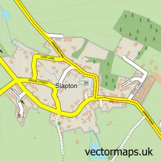
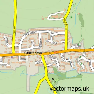
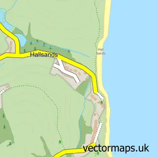
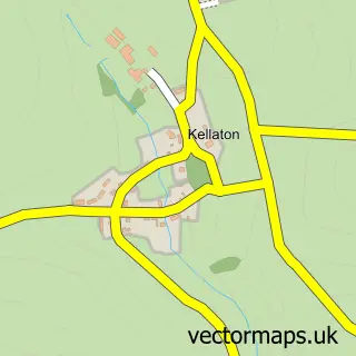
Nearby street map samples around Torcross
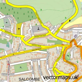

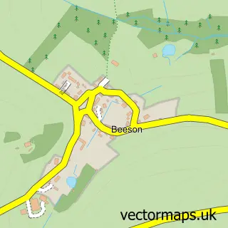
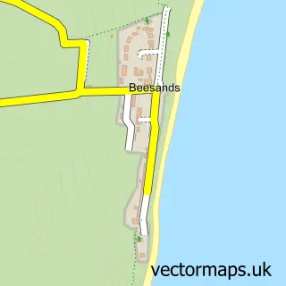
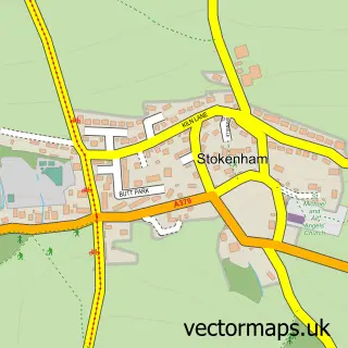
More street maps in Devon
750 metre map area coverage
Boundary, postcode and point of interest information for the 750m x 750m rectangle centred on this sample map.
Boundaries containing map centre
Constituency: South Devon Co Const
County: Devon County
District: South Hams District
Icb: NHS Devon ICB
Parish: Stokenham CP
Police Force: devon and cornwall
Postcode District: TQ7
Postcode Sector: TQ7 2
Ward: Stokenham Ward
Nearby boundaries intersecting sample
No additional intersecting boundaries found.
Postcode coverage
POI category counts
Hotel: 3
Beach: 2
Restaurant: 2
Attractions And Activities: 1
Bed And Breakfast: 1
Coffee Shop: 1
Contractor: 1
Cottage: 1
Holiday Rental Home: 1
Massage Therapy: 1
Sample points of interest
- Operation Tiger Memorial
- Slapton Sands
- Torcross Beach
- Whitehouse
- The Billy Can
- Dr Property
- Seabreeze Cottage
- 2 Florence Cottages
- At The Beach Torcross
- Start Bay Bungalows
- Start Bay Bungalows Limited
- Mint Massage
Create a larger editable map of Torcross
This sample shows only a 750 metre area. To create a larger map of Torcross, use our map builder to choose your own coverage area, add titles and download editable SVG, PDF and PNG files.
Create a custom map of Torcross