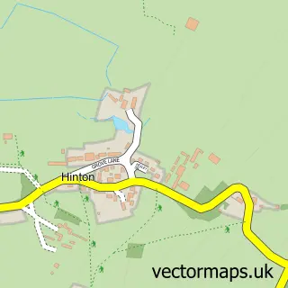
This Tormarton street map is a detailed vector street map covering a 750m x 750m area. Select a larger area to create and download your own vector street map of Tormarton.
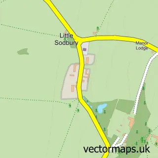
The 750-metre map sample for Tormarton covers 107 mapped buildings and approximately 10.8 km of road detail, of which 8 named roads are named. To create a larger or custom map of Tormarton, the map builder lets you define your own coverage area and download editable SVG, PDF and PNG files.
Create a larger editable map of Tormarton
Choose any area you need and generate a high-quality vector map instantly. Perfect for print, planning, design, business and personal use.

This Tormarton street map in Gloucestershire is available as downloadable SVG, PDF and PNG map files, or as a printed map for planning, business, display, education, local information and design work. You can also create a larger custom map area using the map selector.
What this Tormarton map sample shows
Tormarton lies within Tormarton Cp parish, part of Boyd Valley ward in the South Gloucestershire local authority area. The postcode geography for this area includes the GL postcode area, the GL9 postcode district and the GL9 1 postcode sector. Residents fall under the Nhs Bristol, North Somerset And South Gloucestershire Integrated Care Board for NHS services.
Administrative and postcode information for Tormarton
Tormarton lies within Tormarton Cp parish, part of Boyd Valley ward in the South Gloucestershire local authority area. The postcode geography for this area includes the GL postcode area, the GL9 postcode district and the GL9 1 postcode sector. Residents fall under the Nhs Bristol, North Somerset And South Gloucestershire Integrated Care Board for NHS services.
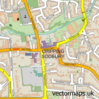
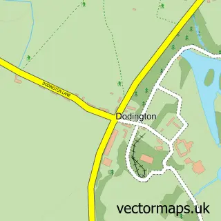
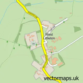
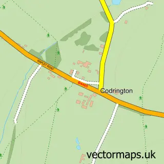
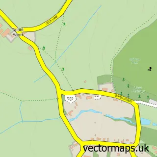
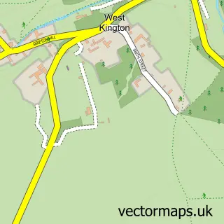
Nearby street map samples around Tormarton

More street maps in Gloucestershire
750 metre map area coverage
Boundary, postcode and point of interest information for the 750m x 750m rectangle centred on this sample map.
Boundaries containing map centre
Constituency: Thornbury and Yate Co Const
District: South Gloucestershire
Icb: NHS Bristol North Somerset and South Gloucestershire ICB
Parish: Tormarton CP
Police Force: avon and somerset
Postcode District: GL9
Postcode Sector: GL9 1
Ward: Boyd Valley Ward
Nearby boundaries intersecting sample
Postcode District: BS37
Postcode Sector: BS37 6
Postcode coverage
POI category counts
Home Service: 2
Anglican Church: 1
Beauty Salon: 1
Business To Business Services: 1
Flowers And Gifts Shop: 1
Preschool: 1
Resort: 1
Sample points of interest
- St Mary Magdalene
- The Headstart Studio
- Elation Experts Ltd.
- Loubee Blooms Florist
- Little Minds Nursery Ltd
- Pumpkins Nursery
- Pumpkins Pre School Nursery
- Best Western Compass Inn
Create a larger editable map of Tormarton
This sample shows only a 750 metre area. To create a larger map of Tormarton, use our map builder to choose your own coverage area, add titles and download editable SVG, PDF and PNG files.
Create a custom map of Tormarton