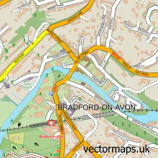
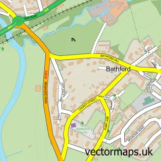
This Bath street map is a detailed vector street map covering a 750m x 750m area. Select a larger area to create and download your own vector street map of Bath.
The 750-metre map sample for Bath covers 143 mapped buildings and approximately 23.3 km of road detail, of which 89 named roads are named. The immediate area includes 2 schools, 1 GP surgery, with 10 within 2 miles, 51 pubs and 1 MOT station, with 23 within 2 miles. The wider area around Bath features 58 tourism points of interest, 183 food and drink venues and 45 hotels. To create a larger or custom map of Bath, the map builder lets you define your own coverage area and download editable SVG, PDF and PNG files.
Create a larger editable map of Bath
Choose any area you need and generate a high-quality vector map instantly. Perfect for print, planning, design, business and personal use.

This Bath street map in Somerset is available as downloadable SVG, PDF and PNG map files, or as a printed map for planning, business, display, education, local information and design work. You can also create a larger custom map area using the map selector.
What this Bath map sample shows
Bath lies within Bath And North East Somerset parish, part of Southdown ward in the Bath And North East Somerset local authority area. The postcode geography for this area includes the BA postcode area, the BA2 postcode district and the BA2 1 postcode sector. Residents fall under the Nhs Bath And North East Somerset, Swindon And Wiltshire Integrated Care Board for NHS services.
Local features near Bath
Within 2 milesAmenities and services in and around Bath.
Administrative and postcode information for Bath
Bath lies within Bath And North East Somerset parish, part of Southdown ward in the Bath And North East Somerset local authority area. The postcode geography for this area includes the BA postcode area, the BA2 postcode district and the BA2 1 postcode sector. Residents fall under the Nhs Bath And North East Somerset, Swindon And Wiltshire Integrated Care Board for NHS services.
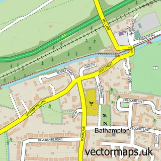
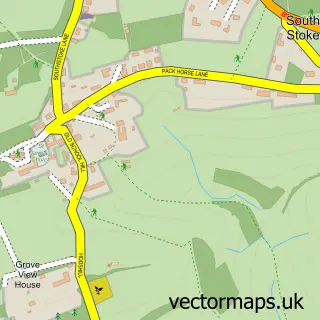
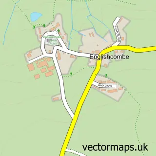
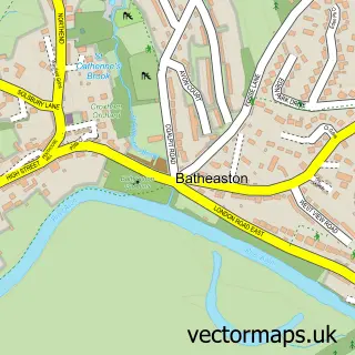
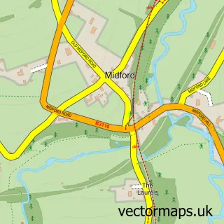
Nearby street map samples around Bath
More street maps in Somerset
750 metre map area coverage
Boundary, postcode and point of interest information for the 750m x 750m rectangle centred on this sample map.
Boundaries containing map centre
Constituency: Bath Co Const
District: Bath and North East Somerset
Icb: NHS Bath and North East Somerset Swindon and Wiltshire ICB
Police Force: avon and somerset
Postcode District: BA1
Postcode Sector: BA1 1
Ward: Kingsmead Ward
Nearby boundaries intersecting sample
Postcode District: BA2
Postcode Sector: BA1 2, BA1 5, BA2 3, BA2 4, BA2 6
Ward: Bathwick Ward, Oldfield Park Ward, Widcombe & Lyncombe Ward
Postcode coverage
POI category counts
Clothing Store: 85
Pub: 51
Hair Salon: 49
Cafe: 48
Jewelry Store: 45
Restaurant: 45
Hotel: 44
Professional Services: 41
Coffee Shop: 39
Shoe Store: 36
Sample points of interest
- 1 Hot Bath Street
- 12 Manvers Street, Flat 4
- John Wood Building
- AIMS Accountants for Business
- ART Accountants Ltd
- Bath & West Accountants Limited
- Bath Bookkeeping and Business Services
- Foresight Accounting
- Handpicked Accountants
- Milsted Langdon LLP - Accountants Bath
- Pearce & Co.
- Richardson Swift
Create a larger editable map of Bath
This sample shows only a 750 metre area. To create a larger map of Bath, use our map builder to choose your own coverage area, add titles and download editable SVG, PDF and PNG files.
Create a custom map of Bath