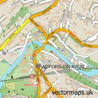
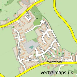
This Monkton Combe street map is a detailed vector street map covering a 750m x 750m area. Select a larger area to create and download your own vector street map of Monkton Combe.
The 750-metre map sample for Monkton Combe covers 110 mapped buildings and approximately 11.2 km of road detail, of which 7 named roads are named. The immediate area includes 1 school, 4 GP surgeries within 2 miles, 1 pub and 3 MOT stations within 2 miles. The wider area around Monkton Combe features 1 tourism point of interest, 1 food and drink venue and 1 hotel. To create a larger or custom map of Monkton Combe, the map builder lets you define your own coverage area and download editable SVG, PDF and PNG files.
Create a larger editable map of Monkton Combe
Choose any area you need and generate a high-quality vector map instantly. Perfect for print, planning, design, business and personal use.

This Monkton Combe street map in Somerset is available as downloadable SVG, PDF and PNG map files, or as a printed map for planning, business, display, education, local information and design work. You can also create a larger custom map area using the map selector.
What this Monkton Combe map sample shows
Monkton Combe lies within Monkton Combe Cp parish, part of Bathavon South ward in the Bath And North East Somerset local authority area. The postcode geography for this area includes the BA postcode area, the BA2 postcode district and the BA2 7 postcode sector. Residents fall under the Nhs Bath And North East Somerset, Swindon And Wiltshire Integrated Care Board for NHS services.
Local features near Monkton Combe
Within 2 milesAmenities and services in and around Monkton Combe.
Administrative and postcode information for Monkton Combe
The local authority covering Monkton Combe is Bath And North East Somerset, within the county of Somerset. The settlement lies within Bathavon South ward and Monkton Combe Cp civil parish. The BA2 postcode district and BA2 7 postcode sector serve the immediate area. NHS provision in the area is delivered through Royal United Hospitals Bath Nhs Foundation Trust.
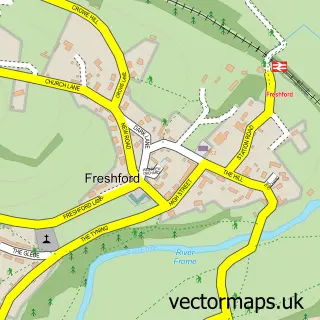
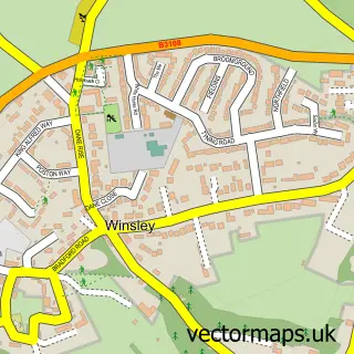
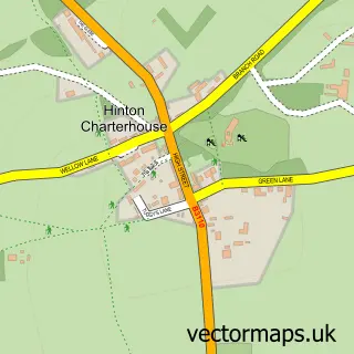
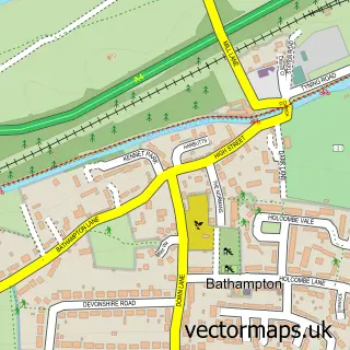
Nearby street map samples around Monkton Combe

More street maps in Somerset
750 metre map area coverage
Boundary, postcode and point of interest information for the 750m x 750m rectangle centred on this sample map.
Boundaries containing map centre
Constituency: Frome and East Somerset Co Const
District: Bath and North East Somerset
Icb: NHS Bath and North East Somerset Swindon and Wiltshire ICB
Parish: Monkton Combe CP
Police Force: avon and somerset
Postcode District: BA2
Postcode Sector: BA2 7
Ward: Bathavon South Ward
Nearby boundaries intersecting sample
Constituency: Bath Co Const, Melksham and Devizes Co Const
District: Wiltshire
Parish: Limpley Stoke CP
Police Force: wiltshire
Ward: Combe Down Ward
Postcode coverage
POI category counts
Transportation: 2
Business To Business Services: 1
Campground: 1
Child Care And Day Care: 1
Chinese Restaurant: 1
Church Cathedral: 1
Education: 1
Fireplace Service: 1
Furniture Store: 1
Gym: 1
Sample points of interest
- Transition 15
- Bath Bell Tents
- Freckles Childcare
- Fig Tree Restaurant Restaurant
- St Michael's Church
- Monkton Senior School
- Mendip Fireplaces Bath
- Convex-mirrors
- So Fit Bath
- Freckles Nanny Training
- Combe Grove Manor Hotel and Country Club, Bath
- Neuro-Physio-Bristol-Bath
Create a larger editable map of Monkton Combe
This sample shows only a 750 metre area. To create a larger map of Monkton Combe, use our map builder to choose your own coverage area, add titles and download editable SVG, PDF and PNG files.
Create a custom map of Monkton Combe