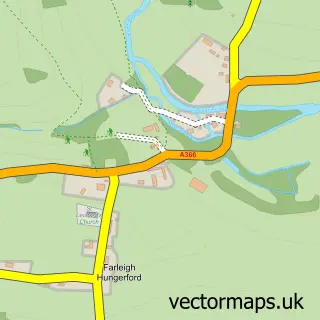
This Limpley Stoke street map is a detailed vector street map covering a 750m x 750m area. Select a larger area to create and download your own vector street map of Limpley Stoke.
The 750-metre map sample for Limpley Stoke covers 192 mapped buildings and approximately 9.3 km of road detail, of which 9 named roads are named. The immediate area includes 1 GP surgery within 2 miles, 1 pub and 3 MOT stations within 2 miles. The wider area around Limpley Stoke features 1 tourism point of interest, 1 food and drink venue and 3 hotels. To create a larger or custom map of Limpley Stoke, the map builder lets you define your own coverage area and download editable SVG, PDF and PNG files.
Create a larger editable map of Limpley Stoke
Choose any area you need and generate a high-quality vector map instantly. Perfect for print, planning, design, business and personal use.

This Limpley Stoke street map in Wiltshire is available as downloadable SVG, PDF and PNG map files, or as a printed map for planning, business, display, education, local information and design work. You can also create a larger custom map area using the map selector.
What this Limpley Stoke map sample shows
Limpley Stoke lies within Limpley Stoke Cp parish, part of Winsley And Westwood ward in the Wiltshire local authority area. The postcode geography for this area includes the BA postcode area, the BA2 postcode district and the BA2 7 postcode sector. Residents fall under the Nhs Bath And North East Somerset, Swindon And Wiltshire Integrated Care Board for NHS services.
Local features near Limpley Stoke
Within 2 milesAmenities and services in and around Limpley Stoke.
Administrative and postcode information for Limpley Stoke
Limpley Stoke lies within Limpley Stoke Cp parish, part of Winsley And Westwood ward in the Wiltshire local authority area. The postcode geography for this area includes the BA postcode area, the BA2 postcode district and the BA2 7 postcode sector. Residents fall under the Nhs Bath And North East Somerset, Swindon And Wiltshire Integrated Care Board for NHS services.
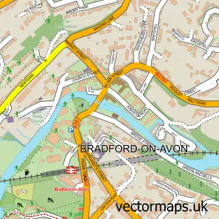
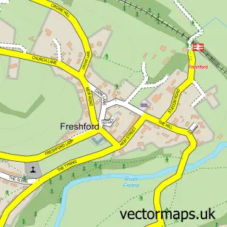
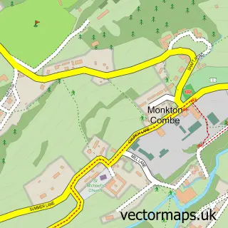
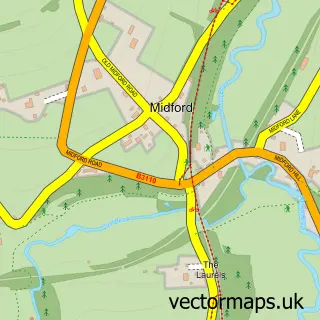
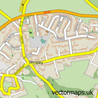
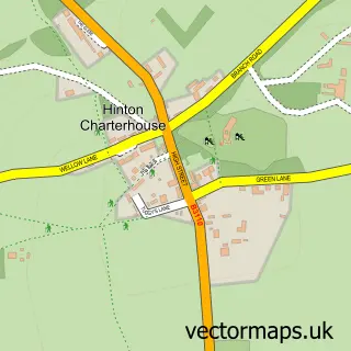
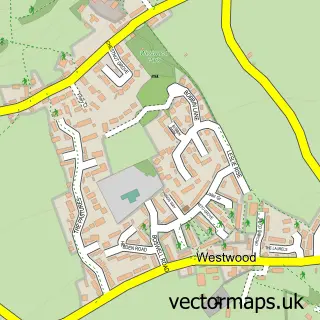
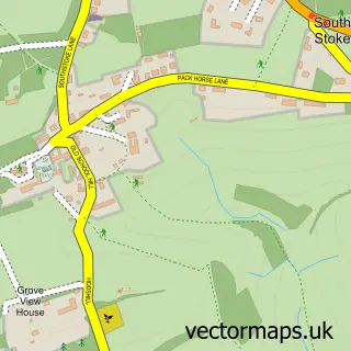
Nearby street map samples around Limpley Stoke

More street maps in Wiltshire
750 metre map area coverage
Boundary, postcode and point of interest information for the 750m x 750m rectangle centred on this sample map.
Boundaries containing map centre
Constituency: Melksham and Devizes Co Const
District: Wiltshire
Icb: NHS Bath and North East Somerset Swindon and Wiltshire ICB
Parish: Limpley Stoke CP
Police Force: wiltshire
Postcode District: BA2
Postcode Sector: BA2 7
Nearby boundaries intersecting sample
Constituency: Frome and East Somerset Co Const
District: Bath and North East Somerset
Parish: Freshford CP, Winsley CP
Police Force: avon and somerset
Ward: Bathavon South Ward
Postcode coverage
POI category counts
Hotel: 3
Anglican Church: 1
Art Gallery: 1
Building Supply Store: 1
Business Consulting: 1
Construction Services: 1
Corporate Entertainment Services: 1
Day Care Preschool: 1
Gym: 1
Mining: 1
Sample points of interest
- St Mary
- Modern Artbuyer
- The Bath Stone Group
- Claremont Management Consultants
- The Bath Stone Group
- Five Hats International
- Moonbeams Day Nursery
- My Kind of Yoga Bath
- Best Western Cliffe Hotel
- Latona Leisure Group
- Limpley Stoke Hotel
- Bath Stone Company
Create a larger editable map of Limpley Stoke
This sample shows only a 750 metre area. To create a larger map of Limpley Stoke, use our map builder to choose your own coverage area, add titles and download editable SVG, PDF and PNG files.
Create a custom map of Limpley Stoke