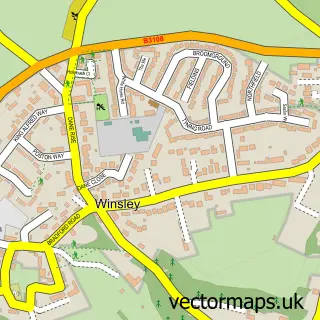
This Monkton Farleigh street map is a detailed vector street map covering a 750m x 750m area. Select a larger area to create and download your own vector street map of Monkton Farleigh.
The 750-metre map sample for Monkton Farleigh covers 103 mapped buildings and approximately 12.3 km of road detail, of which 3 named roads are named. The immediate area includes 1 GP surgery within 2 miles and 1 pub. The wider area around Monkton Farleigh features 1 tourism point of interest, 1 food and drink venue and 1 campsite within 2 miles. To create a larger or custom map of Monkton Farleigh, the map builder lets you define your own coverage area and download editable SVG, PDF and PNG files.
Create a larger editable map of Monkton Farleigh
Choose any area you need and generate a high-quality vector map instantly. Perfect for print, planning, design, business and personal use.

This Monkton Farleigh street map in Wiltshire is available as downloadable SVG, PDF and PNG map files, or as a printed map for planning, business, display, education, local information and design work. You can also create a larger custom map area using the map selector.
What this Monkton Farleigh map sample shows
Monkton Farleigh lies within Monkton Farleigh Cp parish, part of Holt And Staverton ward in the Wiltshire local authority area. The postcode geography for this area includes the BA postcode area, the BA15 postcode district and the BA15 2 postcode sector. Residents fall under the Nhs Bath And North East Somerset, Swindon And Wiltshire Integrated Care Board for NHS services.
Local features near Monkton Farleigh
Within 2 milesAmenities and services in and around Monkton Farleigh.
Administrative and postcode information for Monkton Farleigh
The local authority covering Monkton Farleigh is Wiltshire, within the county of Wiltshire. The settlement lies within Holt And Staverton ward and Monkton Farleigh Cp civil parish. The BA15 postcode district and BA15 2 postcode sector serve the immediate area. NHS provision in the area is delivered through Royal United Hospitals Bath Nhs Foundation Trust.
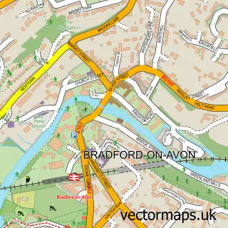
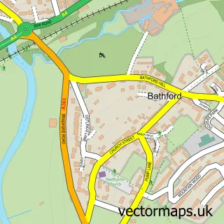
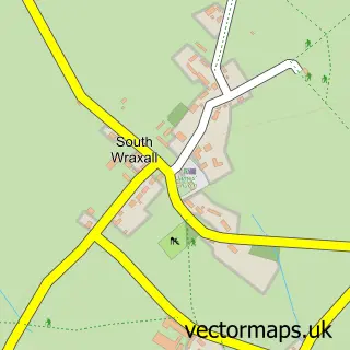
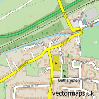
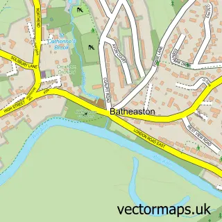
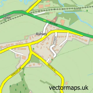
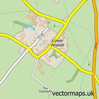
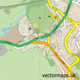
Nearby street map samples around Monkton Farleigh

More street maps in Wiltshire
750 metre map area coverage
Boundary, postcode and point of interest information for the 750m x 750m rectangle centred on this sample map.
Boundaries containing map centre
Constituency: Melksham and Devizes Co Const
District: Wiltshire
Icb: NHS Bath and North East Somerset Swindon and Wiltshire ICB
Parish: Monkton Farleigh CP
Police Force: wiltshire
Postcode District: BA15
Postcode Sector: BA15 2
Nearby boundaries intersecting sample
No additional intersecting boundaries found.
Postcode coverage
POI category counts
Active Life: 3
Anglican Church: 1
Bed And Breakfast: 1
Day Care Preschool: 1
Home Cleaning: 1
Landmark And Historical Building: 1
Osteopathic Physician: 1
Post Office: 1
Preschool: 1
Pub: 1
Sample points of interest
- JULIA BEALE ~ ZUMBA ~ FLOWflex YOGA
- ZUMBA DANCE FITNESS with JULIA BEALE
- Zumba Dance Fitness With Julia
- Monkton Farleigh: St Peter
- Church Farm
- The Lookout Day Nursery
- Molly Maid
- Monkton Farleigh Manor
- Monkton Farleigh Osteopathic Practice
- Monkton Farleigh Post Office
- Hollyhocks Kindergarten
- Kings Arms
Create a larger editable map of Monkton Farleigh
This sample shows only a 750 metre area. To create a larger map of Monkton Farleigh, use our map builder to choose your own coverage area, add titles and download editable SVG, PDF and PNG files.
Create a custom map of Monkton Farleigh