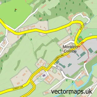
This Bathford street map is a detailed vector street map covering a 750m x 750m area. Select a larger area to create and download your own vector street map of Bathford.
The 750-metre map sample for Bathford covers 234 mapped buildings and approximately 14.3 km of road detail, of which 19 named roads are named. The immediate area includes 1 school, 2 GP surgeries within 2 miles and 3 MOT stations within 2 miles. The wider area around Bathford features 1 tourism point of interest, 1 food and drink venue and 2 hotels. To create a larger or custom map of Bathford, the map builder lets you define your own coverage area and download editable SVG, PDF and PNG files.
Create a larger editable map of Bathford
Choose any area you need and generate a high-quality vector map instantly. Perfect for print, planning, design, business and personal use.

This Bathford street map in Somerset is available as downloadable SVG, PDF and PNG map files, or as a printed map for planning, business, display, education, local information and design work. You can also create a larger custom map area using the map selector.
What this Bathford map sample shows
Bathford lies within Bathford Cp parish, part of Bathavon North ward in the Bath And North East Somerset local authority area. The postcode geography for this area includes the BA postcode area, the BA1 postcode district and the BA1 7 postcode sector. Residents fall under the Nhs Bath And North East Somerset, Swindon And Wiltshire Integrated Care Board for NHS services.
Local features near Bathford
Within 2 milesAmenities and services in and around Bathford.
Administrative and postcode information for Bathford
The local authority covering Bathford is Bath And North East Somerset, within the county of Somerset. The settlement lies within Bathavon North ward and Bathford Cp civil parish. The BA1 postcode district and BA1 7 postcode sector serve the immediate area. NHS provision in the area is delivered through Royal United Hospitals Bath Nhs Foundation Trust.
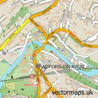
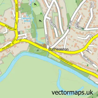
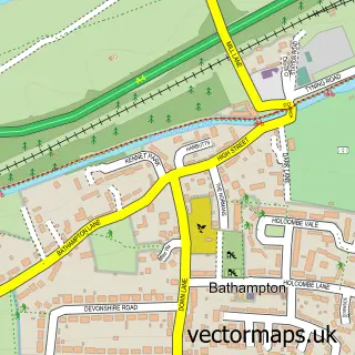
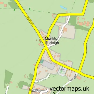
Nearby street map samples around Bathford

More street maps in Somerset
750 metre map area coverage
Boundary, postcode and point of interest information for the 750m x 750m rectangle centred on this sample map.
Boundaries containing map centre
Constituency: Bath Co Const
District: Bath and North East Somerset
Icb: NHS Bath and North East Somerset Swindon and Wiltshire ICB
Parish: Bathford CP
Police Force: avon and somerset
Postcode District: BA1
Postcode Sector: BA1 7
Ward: Bathavon North Ward
Nearby boundaries intersecting sample
Parish: Bathampton CP
Postcode District: BA2
Postcode Sector: BA2 6
Postcode coverage
POI category counts
Elementary School: 2
Hotel: 2
Sports Club And League: 2
Alternative Medicine: 1
Art Gallery: 1
Banks: 1
Bed And Breakfast: 1
Building Supply Store: 1
Cafe: 1
Central Government Office: 1
Sample points of interest
- Holistic Family Practice
- Carole Waller One Two Five Gallery
- Lloyds TSB
- The Cedars
- Emery Brothers
- Bathford Village Shop & Café
- Bathford Parish Rooms
- St Swithun's Church
- The Village Club Bathford RBL
- The Royale Casino Entertainments
- RTC Electrical Fire and Security
- Bathford Primary School
Create a larger editable map of Bathford
This sample shows only a 750 metre area. To create a larger map of Bathford, use our map builder to choose your own coverage area, add titles and download editable SVG, PDF and PNG files.
Create a custom map of Bathford