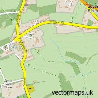
This Bathampton street map is a detailed vector street map covering a 750m x 750m area. Select a larger area to create and download your own vector street map of Bathampton.
The 750-metre map sample for Bathampton covers 294 mapped buildings and approximately 13.6 km of road detail, of which 18 named roads are named. The immediate area includes 1 school, 6 GP surgeries within 2 miles, 2 pubs and 5 MOT stations within 2 miles. The wider area around Bathampton features 4 food and drink venues and 1 campsite within 2 miles. To create a larger or custom map of Bathampton, the map builder lets you define your own coverage area and download editable SVG, PDF and PNG files.
Create a larger editable map of Bathampton
Choose any area you need and generate a high-quality vector map instantly. Perfect for print, planning, design, business and personal use.

This Bathampton street map in Somerset is available as downloadable SVG, PDF and PNG map files, or as a printed map for planning, business, display, education, local information and design work. You can also create a larger custom map area using the map selector.
What this Bathampton map sample shows
Bathampton lies within Bathampton Cp parish, part of Bathavon North ward in the Bath And North East Somerset local authority area. The postcode geography for this area includes the BA postcode area, the BA2 postcode district and the BA2 6 postcode sector. Residents fall under the Nhs Bath And North East Somerset, Swindon And Wiltshire Integrated Care Board for NHS services.
Local features near Bathampton
Within 2 milesAmenities and services in and around Bathampton.
Administrative and postcode information for Bathampton
Bathampton lies within Bathampton Cp parish, part of Bathavon North ward in the Bath And North East Somerset local authority area. The postcode geography for this area includes the BA postcode area, the BA2 postcode district and the BA2 6 postcode sector. Residents fall under the Nhs Bath And North East Somerset, Swindon And Wiltshire Integrated Care Board for NHS services.
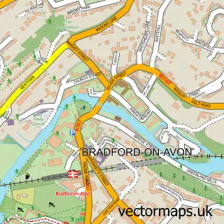
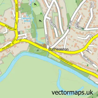
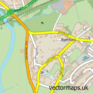
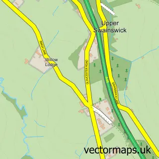
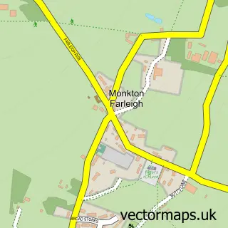
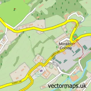
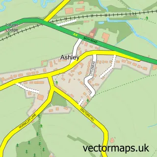
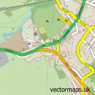
Nearby street map samples around Bathampton

More street maps in Somerset
750 metre map area coverage
Boundary, postcode and point of interest information for the 750m x 750m rectangle centred on this sample map.
Boundaries containing map centre
Constituency: Bath Co Const
District: Bath and North East Somerset
Icb: NHS Bath and North East Somerset Swindon and Wiltshire ICB
Parish: Bathampton CP
Police Force: avon and somerset
Postcode District: BA2
Postcode Sector: BA2 6
Ward: Bathavon North Ward
Nearby boundaries intersecting sample
Postcode District: BA1
Postcode Sector: BA1 7
Ward: Lambridge Ward
Postcode coverage
POI category counts
Church Cathedral: 3
Business Management Services: 2
Cafe: 2
Doctor: 2
It Service And Computer Repair: 2
Preschool: 2
Pub: 2
School: 2
Alternative Medicine: 1
Boat Rental And Training: 1
Sample points of interest
- Jon Yardley Mobile Osteopath
- Narrow Boat for hire, Bath Canal
- Pinckney Green Fireplaces
- Bathampton Post Office
- Post Office-Bathampton
- Cafe 25
- Cafe on the Barge
- Bathampton Methodist Church
- Church of St Nicholas
- St Nicholas Church
- SPAR Bathampton
- Bathampton Dental Practice
Create a larger editable map of Bathampton
This sample shows only a 750 metre area. To create a larger map of Bathampton, use our map builder to choose your own coverage area, add titles and download editable SVG, PDF and PNG files.
Create a custom map of Bathampton