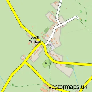
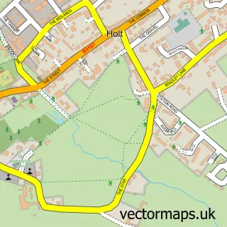
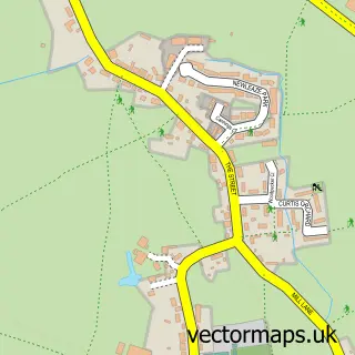
This Lower Wraxall street map is a detailed vector street map covering a 750m x 750m area. Select a larger area to create and download your own vector street map of Lower Wraxall.
The 750-metre map sample for Lower Wraxall covers 99 mapped buildings and approximately 10.8 km of road detail, of which 1 named road are named. The immediate area includes 1 pub. The wider area around Lower Wraxall features 1 food and drink venue and 1 campsite within 2 miles. To create a larger or custom map of Lower Wraxall, the map builder lets you define your own coverage area and download editable SVG, PDF and PNG files.
Create a larger editable map of Lower Wraxall
Choose any area you need and generate a high-quality vector map instantly. Perfect for print, planning, design, business and personal use.

This Lower Wraxall street map in Wiltshire is available as downloadable SVG, PDF and PNG map files, or as a printed map for planning, business, display, education, local information and design work. You can also create a larger custom map area using the map selector.
What this Lower Wraxall map sample shows
Lower Wraxall lies within South Wraxall Cp parish, part of Holt And Staverton ward in the Wiltshire local authority area. The postcode geography for this area includes the BA postcode area, the BA15 postcode district and the BA15 2 postcode sector. Residents fall under the Nhs Bath And North East Somerset, Swindon And Wiltshire Integrated Care Board for NHS services.
Local features near Lower Wraxall
Within 2 milesAmenities and services in and around Lower Wraxall.
Administrative and postcode information for Lower Wraxall
The local authority covering Lower Wraxall is Wiltshire, within the county of Wiltshire. The settlement lies within Holt And Staverton ward and South Wraxall Cp civil parish. The BA15 postcode district and BA15 2 postcode sector serve the immediate area. NHS provision in the area is delivered through Royal United Hospitals Bath Nhs Foundation Trust.
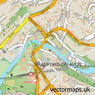
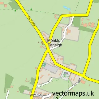
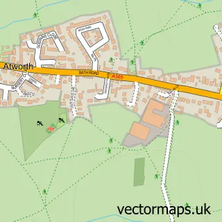
Nearby street map samples around Lower Wraxall

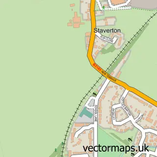
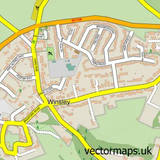
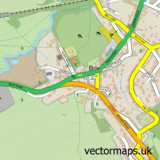
More street maps in Wiltshire
750 metre map area coverage
Boundary, postcode and point of interest information for the 750m x 750m rectangle centred on this sample map.
Boundaries containing map centre
Constituency: Melksham and Devizes Co Const
District: Wiltshire
Icb: NHS Bath and North East Somerset Swindon and Wiltshire ICB
Parish: South Wraxall CP
Police Force: wiltshire
Postcode District: BA15
Postcode Sector: BA15 2
Nearby boundaries intersecting sample
No additional intersecting boundaries found.
Postcode coverage
POI category counts
Accommodation: 1
Fence And Gate Sales Service: 1
Fishing Club: 1
Landscape Architect: 1
Marketing Agency: 1
Pub: 1
Retail: 1
Sample points of interest
- Lower South Wraxall
- A/M Fencing and Repair
- Rushy Lane Fisheries
- LanDesign Associates
- Id³ Digital Marketing
- South Wraxall Club
- Heirloom Puzzles
Create a larger editable map of Lower Wraxall
This sample shows only a 750 metre area. To create a larger map of Lower Wraxall, use our map builder to choose your own coverage area, add titles and download editable SVG, PDF and PNG files.
Create a custom map of Lower Wraxall