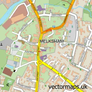
This Broughton Gifford street map is a detailed vector street map covering a 750m x 750m area. Select a larger area to create and download your own vector street map of Broughton Gifford.
The 750-metre map sample for Broughton Gifford covers 163 mapped buildings and approximately 6.2 km of road detail, of which 7 named roads are named. The immediate area includes 1 GP surgery within 2 miles, 3 pubs and 9 MOT stations within 2 miles. The wider area around Broughton Gifford features 3 food and drink venues. To create a larger or custom map of Broughton Gifford, the map builder lets you define your own coverage area and download editable SVG, PDF and PNG files.
Create a larger editable map of Broughton Gifford
Choose any area you need and generate a high-quality vector map instantly. Perfect for print, planning, design, business and personal use.

This Broughton Gifford street map in Wiltshire is available as downloadable SVG, PDF and PNG map files, or as a printed map for planning, business, display, education, local information and design work. You can also create a larger custom map area using the map selector.
What this Broughton Gifford map sample shows
Broughton Gifford lies within Broughton Gifford Cp parish, part of Melksham Without North ward in the Wiltshire local authority area. The postcode geography for this area includes the SN postcode area, the SN12 postcode district and the SN12 8 postcode sector. Residents fall under the Nhs Bath And North East Somerset, Swindon And Wiltshire Integrated Care Board for NHS services.
Local features near Broughton Gifford
Within 2 milesAmenities and services in and around Broughton Gifford.
Administrative and postcode information for Broughton Gifford
The local authority covering Broughton Gifford is Wiltshire, within the county of Wiltshire. The settlement lies within Melksham Without North ward and Broughton Gifford Cp civil parish. The SN12 postcode district and SN12 8 postcode sector serve the immediate area. NHS provision in the area is delivered through Royal United Hospitals Bath Nhs Foundation Trust.
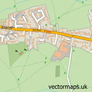
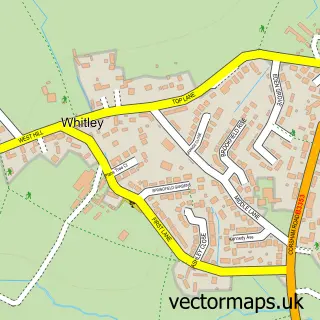
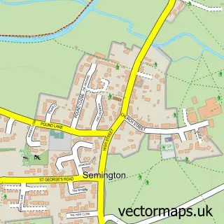
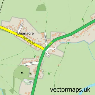
Nearby street map samples around Broughton Gifford

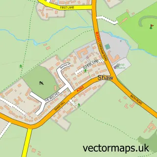
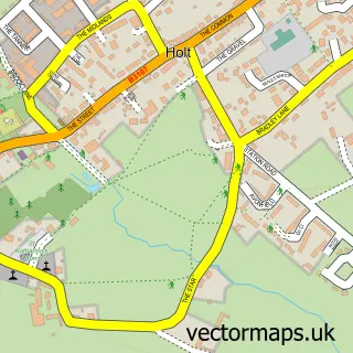
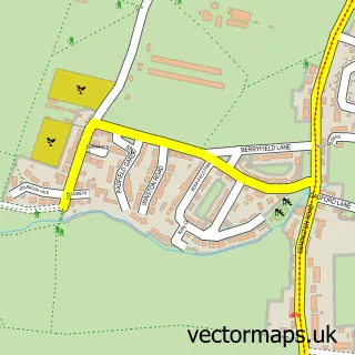
More street maps in Wiltshire
750 metre map area coverage
Boundary, postcode and point of interest information for the 750m x 750m rectangle centred on this sample map.
Boundaries containing map centre
Constituency: Melksham and Devizes Co Const
District: Wiltshire
Icb: NHS Bath and North East Somerset Swindon and Wiltshire ICB
Parish: Broughton Gifford CP
Police Force: wiltshire
Postcode District: SN12
Postcode Sector: SN12 8
Nearby boundaries intersecting sample
No additional intersecting boundaries found.
Postcode coverage
POI category counts
Pub: 3
Alternative Medicine: 2
Elementary School: 2
Preschool: 2
Automotive Repair: 1
Bar: 1
Beauty And Spa: 1
Chemical Plant: 1
Driving School: 1
Engine Repair Service: 1
Sample points of interest
- Classical Homeopathy
- Jayne Ranger RGN, RSHom
- Down Auto Repairs
- The Rusty Stag
- Emily Butler Beauty Therapy
- Draychem
- Steve Radcliffe Driving Instructor
- Broughton Gifford Primary School
- St Mary’s Broughton Gifford CE Primary School
- D W Gothard
- Egerton Sport Horses
- New Macdonalds Farm
Create a larger editable map of Broughton Gifford
This sample shows only a 750 metre area. To create a larger map of Broughton Gifford, use our map builder to choose your own coverage area, add titles and download editable SVG, PDF and PNG files.
Create a custom map of Broughton Gifford