This Whitley street map is a detailed vector street map covering a 750m x 750m area. Select a larger area to create and download your own vector street map of Whitley.
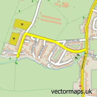
The 750-metre map sample for Whitley covers 316 mapped buildings and approximately 9.6 km of road detail, of which 15 named roads are named. The immediate area includes 1 pub and 6 MOT stations within 2 miles. The wider area around Whitley features 2 food and drink venues and 1 hotel. To create a larger or custom map of Whitley, the map builder lets you define your own coverage area and download editable SVG, PDF and PNG files.
Create a larger editable map of Whitley
Choose any area you need and generate a high-quality vector map instantly. Perfect for print, planning, design, business and personal use.

This Whitley street map in Wiltshire is available as downloadable SVG, PDF and PNG map files, or as a printed map for planning, business, display, education, local information and design work. You can also create a larger custom map area using the map selector.
What this Whitley map sample shows
Whitley lies within Melksham Without Cp parish, part of Melksham Without North ward in the Wiltshire local authority area. The postcode geography for this area includes the SN postcode area, the SN12 postcode district and the SN12 8 postcode sector. Residents fall under the Nhs Bath And North East Somerset, Swindon And Wiltshire Integrated Care Board for NHS services.
Local features near Whitley
Within 2 milesAmenities and services in and around Whitley.
Administrative and postcode information for Whitley
Whitley lies within Melksham Without Cp parish, part of Melksham Without North ward in the Wiltshire local authority area. The postcode geography for this area includes the SN postcode area, the SN12 postcode district and the SN12 8 postcode sector. Residents fall under the Nhs Bath And North East Somerset, Swindon And Wiltshire Integrated Care Board for NHS services.
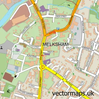
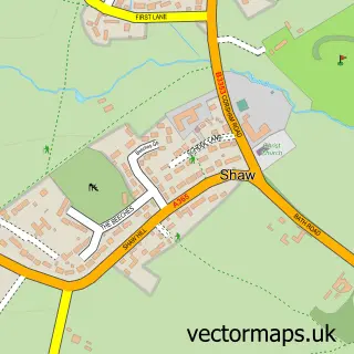
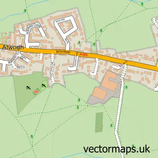
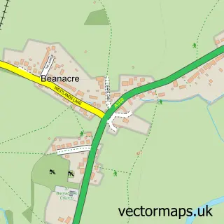
Nearby street map samples around Whitley

More street maps in Wiltshire
750 metre map area coverage
Boundary, postcode and point of interest information for the 750m x 750m rectangle centred on this sample map.
Boundaries containing map centre
Constituency: Melksham and Devizes Co Const
District: Wiltshire
Icb: NHS Bath and North East Somerset Swindon and Wiltshire ICB
Parish: Melksham Without CP
Police Force: wiltshire
Postcode District: SN12
Postcode Sector: SN12 8
Nearby boundaries intersecting sample
No additional intersecting boundaries found.
Postcode coverage
POI category counts
Post Office: 3
Accountant: 2
Funeral Services And Cemeteries: 2
Holiday Rental Home: 2
Automotive Services And Repair: 1
Bicycle Shop: 1
Building Contractor: 1
Cafe: 1
Car Dealer: 1
Community Services Non Profits: 1
Sample points of interest
- Debb Accounting
- SPS Accountancy
- Londesborough Finance
- Spindles Bikes
- Coolscapes
- Sprockets Coffee - Whitley
- Cult Status Cars
- Whitley Stores
- Pocock's Poultry
- Billett E & Son
- John Giddings Farms
- goSimply Funerals
Create a larger editable map of Whitley
This sample shows only a 750 metre area. To create a larger map of Whitley, use our map builder to choose your own coverage area, add titles and download editable SVG, PDF and PNG files.
Create a custom map of Whitley