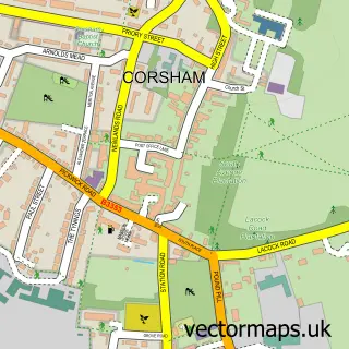
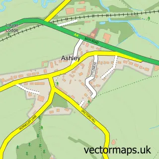
This Neston street map is a detailed vector street map covering a 750m x 750m area. Select a larger area to create and download your own vector street map of Neston.
The 750-metre map sample for Neston covers 151 mapped buildings and approximately 11.0 km of road detail, of which 12 named roads are named. The immediate area includes 1 school, 1 GP surgery within 2 miles, 2 pubs and 9 MOT stations within 2 miles. The wider area around Neston features 2 food and drink venues. To create a larger or custom map of Neston, the map builder lets you define your own coverage area and download editable SVG, PDF and PNG files.
Create a larger editable map of Neston
Choose any area you need and generate a high-quality vector map instantly. Perfect for print, planning, design, business and personal use.

This Neston street map in Wiltshire is available as downloadable SVG, PDF and PNG map files, or as a printed map for planning, business, display, education, local information and design work. You can also create a larger custom map area using the map selector.
What this Neston map sample shows
Neston lies within Corsham Cp parish, part of Corsham Without And Box Hill ward in the Wiltshire local authority area. The postcode geography for this area includes the SN postcode area, the SN13 postcode district and the SN13 9 postcode sector. Residents fall under the Nhs Bath And North East Somerset, Swindon And Wiltshire Integrated Care Board for NHS services.
Local features near Neston
Within 2 milesAmenities and services in and around Neston.
Administrative and postcode information for Neston
The local authority covering Neston is Wiltshire, within the county of Wiltshire. The settlement lies within Corsham Without And Box Hill ward and Corsham Cp civil parish. The SN13 postcode district and SN13 9 postcode sector serve the immediate area. NHS provision in the area is delivered through Royal United Hospitals Bath Nhs Foundation Trust.
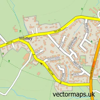
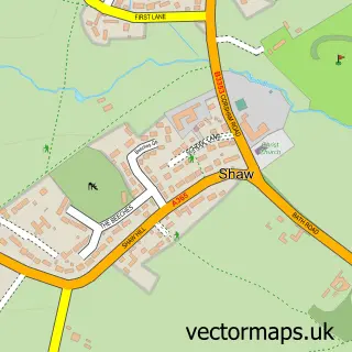
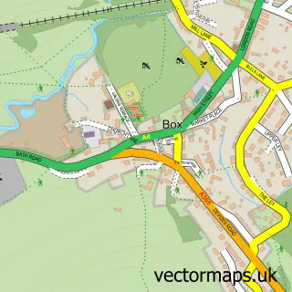
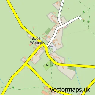
Nearby street map samples around Neston

More street maps in Wiltshire
750 metre map area coverage
Boundary, postcode and point of interest information for the 750m x 750m rectangle centred on this sample map.
Boundaries containing map centre
Constituency: Chippenham Co Const
District: Wiltshire
Icb: NHS Bath and North East Somerset Swindon and Wiltshire ICB
Parish: Corsham CP
Police Force: wiltshire
Postcode District: SN13
Postcode Sector: SN13 9
Nearby boundaries intersecting sample
No additional intersecting boundaries found.
Postcode coverage
POI category counts
Business Records Storage And Management: 2
Pub: 2
Assisted Living Facility: 1
Business Management Services: 1
Church Cathedral: 1
Community Services Non Profits: 1
Contractor: 1
Cottage: 1
Driving School: 1
Electrician: 1
Sample points of interest
- United Response
- Verco Advisory Services Ltd.
- Restore Information Management
- Restore Records Management
- St Philip and St James's Church
- Neston Baby and Toddler Group
- N M Jones Plant & Groundworks
- Locks Cross Cottage
- Safedrive Driving School Neston
- Keways Properties
- Neston Primary School
- Neston Flowers
Create a larger editable map of Neston
This sample shows only a 750 metre area. To create a larger map of Neston, use our map builder to choose your own coverage area, add titles and download editable SVG, PDF and PNG files.
Create a custom map of Neston