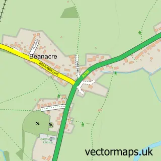
This Atworth street map is a detailed vector street map covering a 750m x 750m area. Select a larger area to create and download your own vector street map of Atworth.
The 750-metre map sample for Atworth covers 208 mapped buildings and approximately 5.6 km of road detail, of which 11 named roads are named. The immediate area includes 3 pubs and 1 MOT station within 2 miles. The wider area around Atworth features 3 food and drink venues and 1 hotel. To create a larger or custom map of Atworth, the map builder lets you define your own coverage area and download editable SVG, PDF and PNG files.
Create a larger editable map of Atworth
Choose any area you need and generate a high-quality vector map instantly. Perfect for print, planning, design, business and personal use.

This Atworth street map in Wiltshire is available as downloadable SVG, PDF and PNG map files, or as a printed map for planning, business, display, education, local information and design work. You can also create a larger custom map area using the map selector.
What this Atworth map sample shows
Atworth lies within Atworth Cp parish, part of Melksham Without North ward in the Wiltshire local authority area. The postcode geography for this area includes the SN postcode area, the SN12 postcode district and the SN12 8 postcode sector. Residents fall under the Nhs Bath And North East Somerset, Swindon And Wiltshire Integrated Care Board for NHS services.
Local features near Atworth
Within 2 milesAmenities and services in and around Atworth.
Administrative and postcode information for Atworth
Atworth lies within Atworth Cp parish, part of Melksham Without North ward in the Wiltshire local authority area. The postcode geography for this area includes the SN postcode area, the SN12 postcode district and the SN12 8 postcode sector. Residents fall under the Nhs Bath And North East Somerset, Swindon And Wiltshire Integrated Care Board for NHS services.
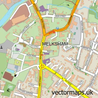
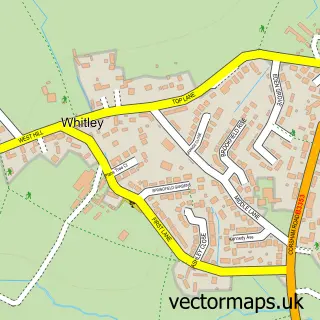
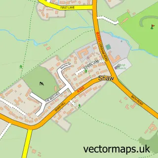
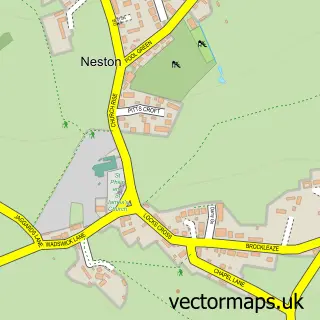
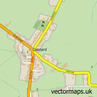
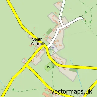
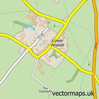
Nearby street map samples around Atworth

More street maps in Wiltshire
750 metre map area coverage
Boundary, postcode and point of interest information for the 750m x 750m rectangle centred on this sample map.
Boundaries containing map centre
Constituency: Melksham and Devizes Co Const
District: Wiltshire
Icb: NHS Bath and North East Somerset Swindon and Wiltshire ICB
Parish: Atworth CP
Police Force: wiltshire
Postcode District: SN12
Postcode Sector: SN12 8
Nearby boundaries intersecting sample
No additional intersecting boundaries found.
Postcode coverage
POI category counts
Pub: 3
Naturopathic Holistic: 2
Alternative Medicine: 1
Arts And Entertainment: 1
Baby Gear And Furniture: 1
Building Contractor: 1
Business Manufacturing And Supply: 1
Car Window Tinting: 1
Child Care And Day Care: 1
Electrical Supply Store: 1
Sample points of interest
- Hypnotherapy & Health
- Prime Arts
- Kind Hearts Clothing
- Black Sheep Timber Framing
- Leafield Marine
- 13 Tinting
- Snapdragons Nursery
- Interconics Ltd.
- Atworth Business Park
- Snapdragons Nurseries Ltd
- King's Stile Cottage
- Prosure Insurance Services
Create a larger editable map of Atworth
This sample shows only a 750 metre area. To create a larger map of Atworth, use our map builder to choose your own coverage area, add titles and download editable SVG, PDF and PNG files.
Create a custom map of Atworth