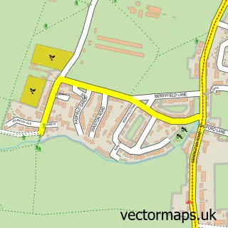
This Melksham street map is a detailed vector street map covering a 750m x 750m area. Select a larger area to create and download your own vector street map of Melksham.
The 750-metre map sample for Melksham covers 392 mapped buildings and approximately 14.7 km of road detail, of which 38 named roads are named. The immediate area includes 2 schools, 2 GP surgeries within 2 miles, 10 pubs and 1 MOT station, with 13 within 2 miles. The wider area around Melksham features 4 tourism points of interest, 28 food and drink venues and 3 hotels. To create a larger or custom map of Melksham, the map builder lets you define your own coverage area and download editable SVG, PDF and PNG files.
Create a larger editable map of Melksham
Choose any area you need and generate a high-quality vector map instantly. Perfect for print, planning, design, business and personal use.

This Melksham street map in Wiltshire is available as downloadable SVG, PDF and PNG map files, or as a printed map for planning, business, display, education, local information and design work. You can also create a larger custom map area using the map selector.
What this Melksham map sample shows
Melksham lies within Melksham Cp parish, part of Melksham Central ward in the Wiltshire local authority area. The postcode geography for this area includes the SN postcode area, the SN12 postcode district and the SN12 7 postcode sector. Residents fall under the Nhs Bath And North East Somerset, Swindon And Wiltshire Integrated Care Board for NHS services.
Local features near Melksham
Within 2 milesAmenities and services in and around Melksham.
Administrative and postcode information for Melksham
The local authority covering Melksham is Wiltshire, within the county of Wiltshire. The settlement lies within Melksham Central ward and Melksham Cp civil parish. The SN12 postcode district and SN12 7 postcode sector serve the immediate area. NHS provision in the area is delivered through Royal United Hospitals Bath Nhs Foundation Trust.
Nearby street map samples around Melksham

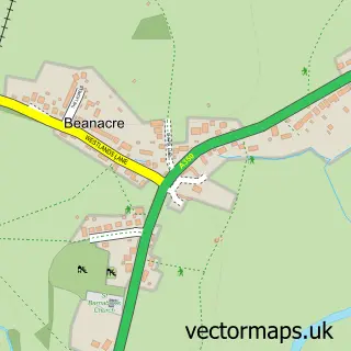
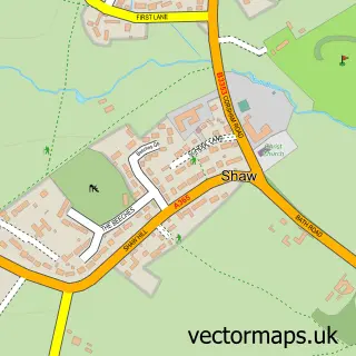
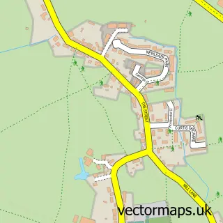
More street maps in Wiltshire
750 metre map area coverage
Boundary, postcode and point of interest information for the 750m x 750m rectangle centred on this sample map.
Boundaries containing map centre
Constituency: Melksham and Devizes Co Const
District: Wiltshire
Icb: NHS Bath and North East Somerset Swindon and Wiltshire ICB
Parish: Melksham CP
Police Force: wiltshire
Postcode District: SN12
Postcode Sector: SN12 6
Nearby boundaries intersecting sample
Postcode Sector: SN12 7, SN12 8
Postcode coverage
POI category counts
Professional Services: 12
Beauty Salon: 11
Hair Salon: 10
Pub: 10
Barber: 9
Restaurant: 7
Chinese Restaurant: 6
Coffee Shop: 6
Sports Club And League: 6
Cafe: 5
Sample points of interest
- Barnett and Co Accountants Ltd
- TaxAssist Accountants
- Lyn Blythe Acupuncture
- Nettl of Melksham
- UK Media Solutions
- Carl Todd Clinics
- Partridge Medical Solutions Ltd
- St Michael's, Melksham
- Cats Action Trust
- Melksham Arcade
- Polly's Parlour
- Tenovus the Cancer Charity Shop
Create a larger editable map of Melksham
This sample shows only a 750 metre area. To create a larger map of Melksham, use our map builder to choose your own coverage area, add titles and download editable SVG, PDF and PNG files.
Create a custom map of Melksham