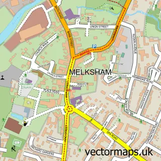
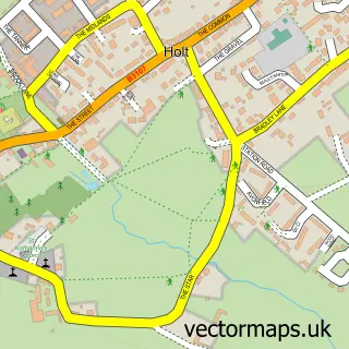
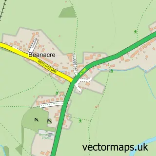
This Berryfield street map is a detailed vector street map covering a 750m x 750m area. Select a larger area to create and download your own vector street map of Berryfield.
The 750-metre map sample for Berryfield covers 231 mapped buildings and approximately 9.7 km of road detail, of which 12 named roads are named. The immediate area includes 2 GP surgeries within 2 miles, 1 pub and 14 MOT stations within 2 miles. The wider area around Berryfield features 1 tourism point of interest and 2 food and drink venues. To create a larger or custom map of Berryfield, the map builder lets you define your own coverage area and download editable SVG, PDF and PNG files.
Create a larger editable map of Berryfield
Choose any area you need and generate a high-quality vector map instantly. Perfect for print, planning, design, business and personal use.

This Berryfield street map in Wiltshire is available as downloadable SVG, PDF and PNG map files, or as a printed map for planning, business, display, education, local information and design work. You can also create a larger custom map area using the map selector.
What this Berryfield map sample shows
Berryfield lies within Melksham Without Cp parish, part of Melksham Without South ward in the Wiltshire local authority area. The postcode geography for this area includes the BA postcode area, the BA14 postcode district and the BA14 6 postcode sector. Residents fall under the Nhs Bath And North East Somerset, Swindon And Wiltshire Integrated Care Board for NHS services.
Local features near Berryfield
Within 2 milesAmenities and services in and around Berryfield.
Administrative and postcode information for Berryfield
The local authority covering Berryfield is Wiltshire, within the county of Wiltshire. The settlement lies within Melksham Without South ward and Melksham Without Cp civil parish. The BA14 postcode district and BA14 6 postcode sector serve the immediate area. NHS provision in the area is delivered through Royal United Hospitals Bath Nhs Foundation Trust.
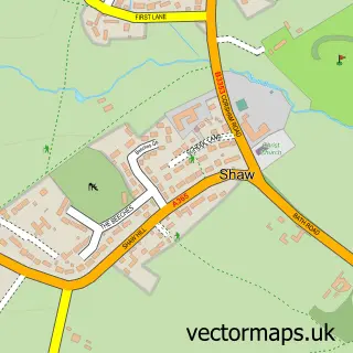
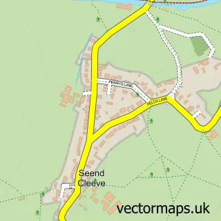
Nearby street map samples around Berryfield

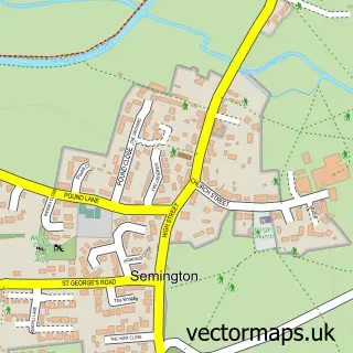
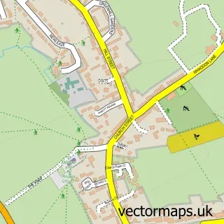
More street maps in Wiltshire
750 metre map area coverage
Boundary, postcode and point of interest information for the 750m x 750m rectangle centred on this sample map.
Boundaries containing map centre
Constituency: Melksham and Devizes Co Const
District: Wiltshire
Icb: NHS Bath and North East Somerset Swindon and Wiltshire ICB
Parish: Melksham Without CP
Police Force: wiltshire
Postcode District: SN12
Postcode Sector: SN12 6
Nearby boundaries intersecting sample
No additional intersecting boundaries found.
Postcode coverage
POI category counts
Building Supply Store: 2
Taxi Service: 2
Beauty Salon: 1
Bed And Breakfast: 1
Building Contractor: 1
Cafe: 1
Caterer: 1
Childrens Clothing Store: 1
Community Center: 1
Electrician: 1
Sample points of interest
- Clear Beauty
- Antonia House Bed & Breakfast
- Hawkes & Son
- Dan Tucker
- Frank Thomas Damp Proofing
- Waney Edge Cafe
- Elmer Catering
- Baby World
- Berryfield Village Hall
- Slic-Electrical
- Roadrunner Vehicle Repairs
- Kyna Software Ltd.
Create a larger editable map of Berryfield
This sample shows only a 750 metre area. To create a larger map of Berryfield, use our map builder to choose your own coverage area, add titles and download editable SVG, PDF and PNG files.
Create a custom map of Berryfield