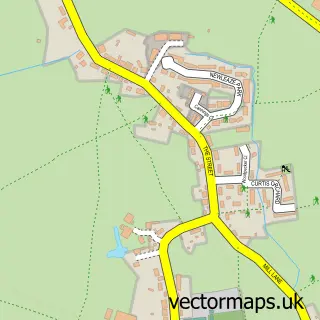
This Hilperton street map is a detailed vector street map covering a 750m x 750m area. Select a larger area to create and download your own vector street map of Hilperton.
The 750-metre map sample for Hilperton covers 220 mapped buildings and approximately 9.4 km of road detail, of which 15 named roads are named. The immediate area includes 1 school, 2 GP surgeries within 2 miles and 18 MOT stations within 2 miles. The wider area around Hilperton features 1 campsite within 2 miles. To create a larger or custom map of Hilperton, the map builder lets you define your own coverage area and download editable SVG, PDF and PNG files.
Create a larger editable map of Hilperton
Choose any area you need and generate a high-quality vector map instantly. Perfect for print, planning, design, business and personal use.

This Hilperton street map in Wiltshire is available as downloadable SVG, PDF and PNG map files, or as a printed map for planning, business, display, education, local information and design work. You can also create a larger custom map area using the map selector.
What this Hilperton map sample shows
Hilperton lies within Hilperton Cp parish, part of Hilperton ward in the Wiltshire local authority area. The postcode geography for this area includes the BA postcode area, the BA14 postcode district and the BA14 7 postcode sector. Residents fall under the Nhs Bath And North East Somerset, Swindon And Wiltshire Integrated Care Board for NHS services.
Local features near Hilperton
Within 2 milesAmenities and services in and around Hilperton.
Administrative and postcode information for Hilperton
Hilperton lies within Hilperton Cp parish, part of Hilperton ward in the Wiltshire local authority area. The postcode geography for this area includes the BA postcode area, the BA14 postcode district and the BA14 7 postcode sector. Residents fall under the Nhs Bath And North East Somerset, Swindon And Wiltshire Integrated Care Board for NHS services.
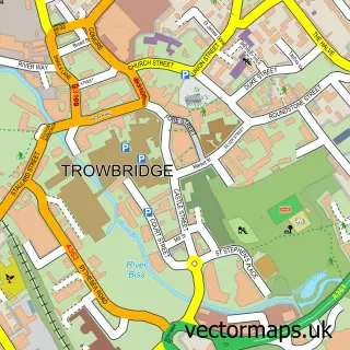
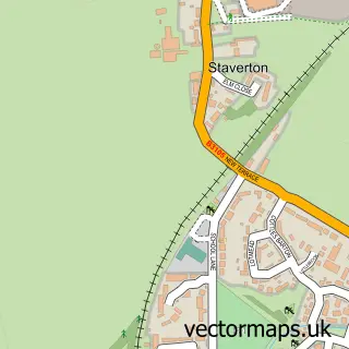
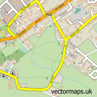
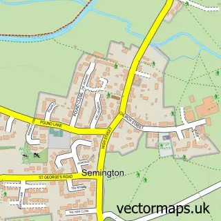
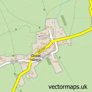
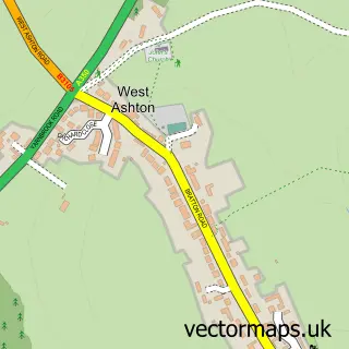
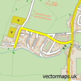
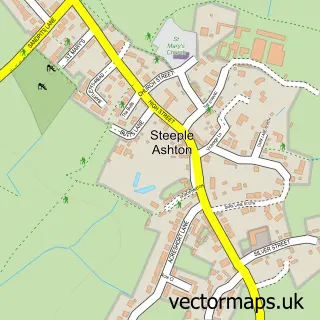
Nearby street map samples around Hilperton

More street maps in Wiltshire
750 metre map area coverage
Boundary, postcode and point of interest information for the 750m x 750m rectangle centred on this sample map.
Boundaries containing map centre
Constituency: South West Wiltshire Co Const
District: Wiltshire
Icb: NHS Bath and North East Somerset Swindon and Wiltshire ICB
Parish: Hilperton CP
Police Force: wiltshire
Postcode District: BA14
Postcode Sector: BA14 7
Nearby boundaries intersecting sample
Postcode Sector: BA14 6
Postcode coverage
POI category counts
Elementary School: 2
Anglican Church: 1
Arts And Entertainment: 1
Auto Body Shop: 1
Automotive Parts And Accessories: 1
Caterer: 1
Church Cathedral: 1
Community Center: 1
Corporate Entertainment Services: 1
Evangelical Church: 1
Sample points of interest
- Hilperton: St Michael & All Angels
- Hilperton Village Hall
- RH and IR Cradock Ltd
- Morgana Management
- Victoria Moore Catering
- The Canalside Parishes
- Hilperton Village Hall
- Venue Team
- Hilperton C of E Primary School
- Hilperton C of E Primary School
- Grace Reformed Baptist Church
- Knoll Farm Produce
Create a larger editable map of Hilperton
This sample shows only a 750 metre area. To create a larger map of Hilperton, use our map builder to choose your own coverage area, add titles and download editable SVG, PDF and PNG files.
Create a custom map of Hilperton