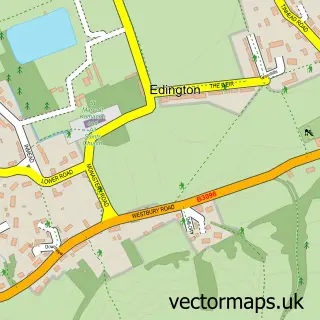
This Steeple Ashton street map is a detailed vector street map covering a 750m x 750m area. Select a larger area to create and download your own vector street map of Steeple Ashton.
The 750-metre map sample for Steeple Ashton covers 262 mapped buildings and approximately 12.1 km of road detail, of which 18 named roads are named. The immediate area includes 1 pub and 2 MOT stations within 2 miles. The wider area around Steeple Ashton features 1 food and drink venue and 1 hotel. To create a larger or custom map of Steeple Ashton, the map builder lets you define your own coverage area and download editable SVG, PDF and PNG files.
Create a larger editable map of Steeple Ashton
Choose any area you need and generate a high-quality vector map instantly. Perfect for print, planning, design, business and personal use.

This Steeple Ashton street map in Wiltshire is available as downloadable SVG, PDF and PNG map files, or as a printed map for planning, business, display, education, local information and design work. You can also create a larger custom map area using the map selector.
What this Steeple Ashton map sample shows
Steeple Ashton lies within Steeple Ashton Cp parish, part of Summerham And Seend ward in the Wiltshire local authority area. The postcode geography for this area includes the BA postcode area, the BA14 postcode district and the BA14 6 postcode sector. Residents fall under the Nhs Bath And North East Somerset, Swindon And Wiltshire Integrated Care Board for NHS services.
Local features near Steeple Ashton
Within 2 milesAmenities and services in and around Steeple Ashton.
Administrative and postcode information for Steeple Ashton
The local authority covering Steeple Ashton is Wiltshire, within the county of Wiltshire. The settlement lies within Summerham And Seend ward and Steeple Ashton Cp civil parish. The BA14 postcode district and BA14 6 postcode sector serve the immediate area. NHS provision in the area is delivered through Royal United Hospitals Bath Nhs Foundation Trust.
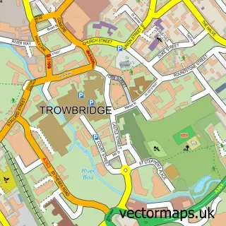
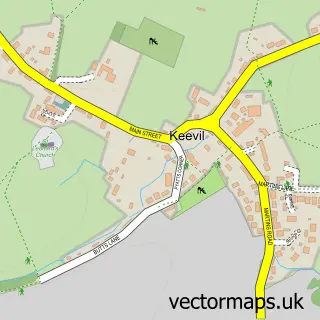
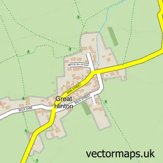
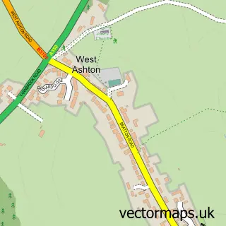
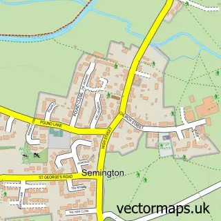
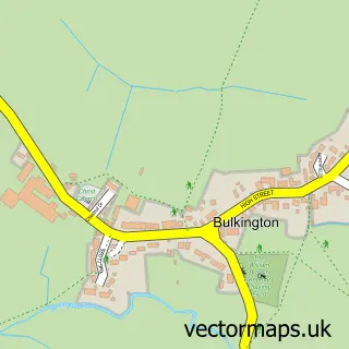
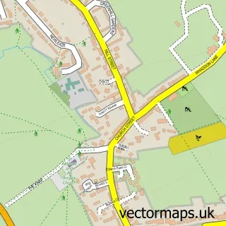
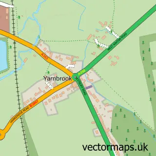
Nearby street map samples around Steeple Ashton

More street maps in Wiltshire
750 metre map area coverage
Boundary, postcode and point of interest information for the 750m x 750m rectangle centred on this sample map.
Boundaries containing map centre
Constituency: Melksham and Devizes Co Const
District: Wiltshire
Icb: NHS Bath and North East Somerset Swindon and Wiltshire ICB
Parish: Steeple Ashton CP
Police Force: wiltshire
Postcode District: BA14
Postcode Sector: BA14 6
Nearby boundaries intersecting sample
Parish: Keevil CP
Postcode coverage
POI category counts
Church Cathedral: 2
Anglican Church: 1
Antique Store: 1
Cave: 1
Charity Organization: 1
Child Care And Day Care: 1
Chiropractor: 1
Convenience Store: 1
Furniture Store: 1
Hotel: 1
Sample points of interest
- St Mary's Steeple Ashton
- The Antiques Source
- Fairy Cave Quarry
- Wiltshire Guild of Spinners, Weavers and Dyers
- Creche Out
- Lawn House Chiropractic Clinic
- St Mary's Church
- Steeple Ashton Church
- Steeple Ashton Village Shop
- Cloudberry
- My English B and B
- Owl Lodge
Create a larger editable map of Steeple Ashton
This sample shows only a 750 metre area. To create a larger map of Steeple Ashton, use our map builder to choose your own coverage area, add titles and download editable SVG, PDF and PNG files.
Create a custom map of Steeple Ashton