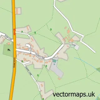
This Yarnbrook street map is a detailed vector street map covering a 750m x 750m area. Select a larger area to create and download your own vector street map of Yarnbrook.
The 750-metre map sample for Yarnbrook covers 109 mapped buildings and approximately 5.0 km of road detail, of which 3 named roads are named. The immediate area includes 1 GP surgery within 2 miles, 2 pubs and 16 MOT stations within 2 miles. The wider area around Yarnbrook features 3 food and drink venues and 1 hotel. To create a larger or custom map of Yarnbrook, the map builder lets you define your own coverage area and download editable SVG, PDF and PNG files.
Create a larger editable map of Yarnbrook
Choose any area you need and generate a high-quality vector map instantly. Perfect for print, planning, design, business and personal use.

This Yarnbrook street map in Wiltshire is available as downloadable SVG, PDF and PNG map files, or as a printed map for planning, business, display, education, local information and design work. You can also create a larger custom map area using the map selector.
What this Yarnbrook map sample shows
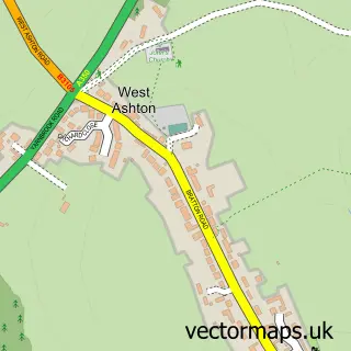
Yarnbrook lies within West Ashton Cp parish, part of Southwick ward in the Wiltshire local authority area. The postcode geography for this area includes the BA postcode area, the BA14 postcode district and the BA14 6 postcode sector. Residents fall under the Nhs Bath And North East Somerset, Swindon And Wiltshire Integrated Care Board for NHS services.
Local features near Yarnbrook
Within 2 milesAmenities and services in and around Yarnbrook.
Administrative and postcode information for Yarnbrook
The local authority covering Yarnbrook is Wiltshire, within the county of Wiltshire. The settlement lies within Southwick ward and West Ashton Cp civil parish. The BA14 postcode district and BA14 6 postcode sector serve the immediate area. NHS provision in the area is delivered through Royal United Hospitals Bath Nhs Foundation Trust.
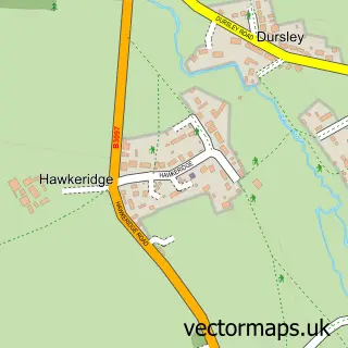
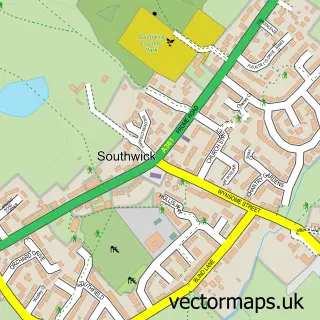
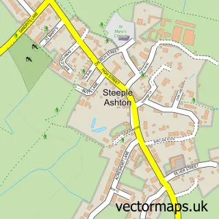
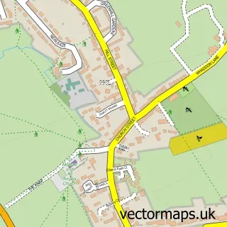
Nearby street map samples around Yarnbrook

More street maps in Wiltshire
750 metre map area coverage
Boundary, postcode and point of interest information for the 750m x 750m rectangle centred on this sample map.
Boundaries containing map centre
Constituency: South West Wiltshire Co Const
District: Wiltshire
Icb: NHS Bath and North East Somerset Swindon and Wiltshire ICB
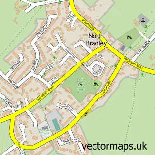
Parish: North Bradley CP
Police Force: wiltshire
Postcode District: BA14
Postcode Sector: BA14 6
Nearby boundaries intersecting sample
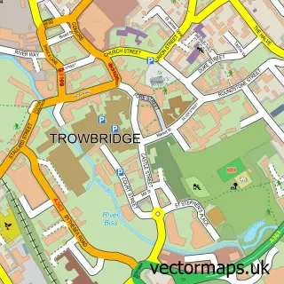
Parish: Trowbridge CP, West Ashton CP
Postcode coverage
POI category counts
Gas Station: 4
Building Supply Store: 2
Pub: 2
Art Gallery: 1
Atms: 1
Automotive: 1
Automotive Repair: 1
Bakery: 1
Bar: 1
Builders: 1
Sample points of interest
- Moody Views
- MFG - Yarnbrook (MRH)
- Renrod
- JP Vehicle Services
- Greggs
- Hungry Horse
- A & C Building Services
- Batstone Restoration Roofing
- Baxter Heating
- The Long Arms / Hungry Horse
- Platinum Toyota
- Tom's Valeting
Create a larger editable map of Yarnbrook
This sample shows only a 750 metre area. To create a larger map of Yarnbrook, use our map builder to choose your own coverage area, add titles and download editable SVG, PDF and PNG files.
Create a custom map of Yarnbrook