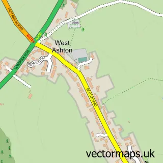
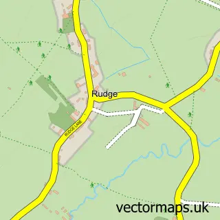
This Heywood street map is a detailed vector street map covering a 750m x 750m area. Select a larger area to create and download your own vector street map of Heywood.
The 750-metre map sample for Heywood covers 90 mapped buildings and approximately 4.6 km of road detail, of which 3 named roads are named. The immediate area includes 9 MOT stations within 2 miles. To create a larger or custom map of Heywood, the map builder lets you define your own coverage area and download editable SVG, PDF and PNG files.
Create a larger editable map of Heywood
Choose any area you need and generate a high-quality vector map instantly. Perfect for print, planning, design, business and personal use.

This Heywood street map in Wiltshire is available as downloadable SVG, PDF and PNG map files, or as a printed map for planning, business, display, education, local information and design work. You can also create a larger custom map area using the map selector.
What this Heywood map sample shows
Heywood lies within Heywood Cp parish, part of Ethandune ward in the Wiltshire local authority area. The postcode geography for this area includes the BA postcode area, the BA13 postcode district and the BA13 4 postcode sector. Residents fall under the Nhs Bath And North East Somerset, Swindon And Wiltshire Integrated Care Board for NHS services.
Local features near Heywood
Within 2 milesAmenities and services in and around Heywood.
Administrative and postcode information for Heywood
The local authority covering Heywood is Wiltshire, within the county of Wiltshire. The settlement lies within Ethandune ward and Heywood Cp civil parish. The BA13 postcode district and BA13 4 postcode sector serve the immediate area. NHS provision in the area is delivered through Royal United Hospitals Bath Nhs Foundation Trust.
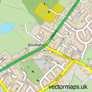
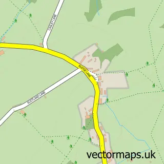
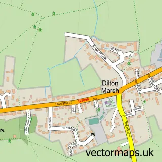
Nearby street map samples around Heywood

More street maps in Wiltshire
750 metre map area coverage
Boundary, postcode and point of interest information for the 750m x 750m rectangle centred on this sample map.
Boundaries containing map centre
Constituency: South West Wiltshire Co Const
District: Wiltshire
Icb: NHS Bath and North East Somerset Swindon and Wiltshire ICB
Parish: Heywood CP
Police Force: wiltshire
Postcode District: BA13
Postcode Sector: BA13 4
Nearby boundaries intersecting sample
Parish: North Bradley CP
Postcode coverage
POI category counts
Dog Trainer: 2
Equestrian Facility: 2
Agricultural Service: 1
Business Management Services: 1
Professional Services: 1
Shoe Store: 1
Sample points of interest
- Cradock Tractors Ltd
- Aspire Shire
- Frome Dog Training Club
- Frome Dog Training Club
- Charlie Paws Within Heywood Equestrian Centre
- Heywood Equestrian Centre
- Mike Hill Photography
- The Shack 4 Tack
Create a larger editable map of Heywood
This sample shows only a 750 metre area. To create a larger map of Heywood, use our map builder to choose your own coverage area, add titles and download editable SVG, PDF and PNG files.
Create a custom map of Heywood