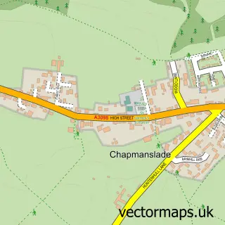
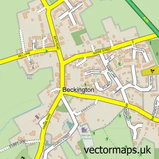
This Dilton Marsh street map is a detailed vector street map covering a 750m x 750m area. Select a larger area to create and download your own vector street map of Dilton Marsh.
The 750-metre map sample for Dilton Marsh covers 214 mapped buildings and approximately 7.4 km of road detail, of which 17 named roads are named. The immediate area includes 1 school, 1 GP surgery within 2 miles and 1 MOT station, with 8 within 2 miles. The wider area around Dilton Marsh features 1 campsite within 2 miles. To create a larger or custom map of Dilton Marsh, the map builder lets you define your own coverage area and download editable SVG, PDF and PNG files.
Create a larger editable map of Dilton Marsh
Choose any area you need and generate a high-quality vector map instantly. Perfect for print, planning, design, business and personal use.

This Dilton Marsh street map in Wiltshire is available as downloadable SVG, PDF and PNG map files, or as a printed map for planning, business, display, education, local information and design work. You can also create a larger custom map area using the map selector.
What this Dilton Marsh map sample shows
Dilton Marsh lies within Dilton Marsh Cp parish, part of Ethandune ward in the Wiltshire local authority area. The postcode geography for this area includes the BA postcode area, the BA13 postcode district and the BA13 4 postcode sector. Residents fall under the Nhs Bath And North East Somerset, Swindon And Wiltshire Integrated Care Board for NHS services.
Local features near Dilton Marsh
Within 2 milesAmenities and services in and around Dilton Marsh.
Administrative and postcode information for Dilton Marsh
Dilton Marsh lies within Dilton Marsh Cp parish, part of Ethandune ward in the Wiltshire local authority area. The postcode geography for this area includes the BA postcode area, the BA13 postcode district and the BA13 4 postcode sector. Residents fall under the Nhs Bath And North East Somerset, Swindon And Wiltshire Integrated Care Board for NHS services.
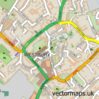
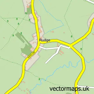
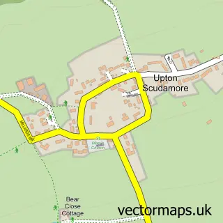
Nearby street map samples around Dilton Marsh

More street maps in Wiltshire
750 metre map area coverage
Boundary, postcode and point of interest information for the 750m x 750m rectangle centred on this sample map.
Boundaries containing map centre
Constituency: South West Wiltshire Co Const
District: Wiltshire
Icb: NHS Bath and North East Somerset Swindon and Wiltshire ICB
Parish: Dilton Marsh CP
Police Force: wiltshire
Postcode District: BA13
Postcode Sector: BA13 4
Nearby boundaries intersecting sample
No additional intersecting boundaries found.
Postcode coverage
POI category counts
Car Dealer: 2
Elementary School: 2
Fast Food Restaurant: 2
Social Service Organizations: 2
Advertising Agency: 1
Anglican Church: 1
Arts And Crafts: 1
Automotive Repair: 1
Beauty Salon: 1
Bookstore: 1
Sample points of interest
- Knibbs Design
- Dilton Marsh: Holy Trinity
- New Baginnings
- Dilton Motors
- MG Cosmetics
- Zardoz Books
- 1st Stop Cleaning Services
- Gibbons Automotive
- White Horse Motor Company
- Holy Trinity Church
- Pipes and Valves - Westbury Trade Counter
- Dilton Marsh C of E Primary School
Create a larger editable map of Dilton Marsh
This sample shows only a 750 metre area. To create a larger map of Dilton Marsh, use our map builder to choose your own coverage area, add titles and download editable SVG, PDF and PNG files.
Create a custom map of Dilton Marsh