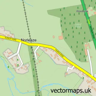
This Westbury street map is a detailed vector street map covering a 750m x 750m area. Select a larger area to create and download your own vector street map of Westbury.
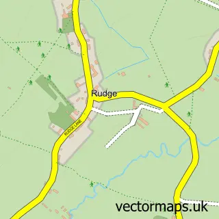
The 750-metre map sample for Westbury covers 522 mapped buildings and approximately 18.1 km of road detail, of which 46 named roads are named. The immediate area includes 1 GP surgery within 2 miles, 6 pubs and 9 MOT stations within 2 miles. The wider area around Westbury features 2 tourism points of interest, 13 food and drink venues and 2 hotels. To create a larger or custom map of Westbury, the map builder lets you define your own coverage area and download editable SVG, PDF and PNG files.
Create a larger editable map of Westbury
Choose any area you need and generate a high-quality vector map instantly. Perfect for print, planning, design, business and personal use.

This Westbury street map in Wiltshire is available as downloadable SVG, PDF and PNG map files, or as a printed map for planning, business, display, education, local information and design work. You can also create a larger custom map area using the map selector.
What this Westbury map sample shows
Westbury lies within Westbury Cp parish, part of Westbury East ward in the Wiltshire local authority area. The postcode geography for this area includes the BA postcode area, the BA13 postcode district and the BA13 3 postcode sector. Residents fall under the Nhs Bath And North East Somerset, Swindon And Wiltshire Integrated Care Board for NHS services.
Local features near Westbury
Within 2 milesAmenities and services in and around Westbury.
Administrative and postcode information for Westbury
The local authority covering Westbury is Wiltshire, within the county of Wiltshire. The settlement lies within Westbury East ward and Westbury Cp civil parish. The BA13 postcode district and BA13 3 postcode sector serve the immediate area. NHS provision in the area is delivered through Royal United Hospitals Bath Nhs Foundation Trust.
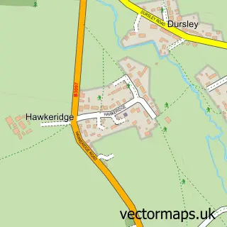
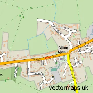
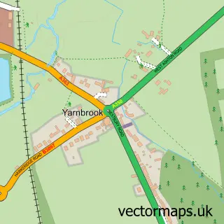
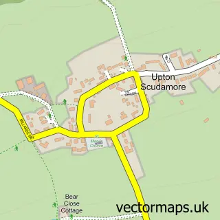
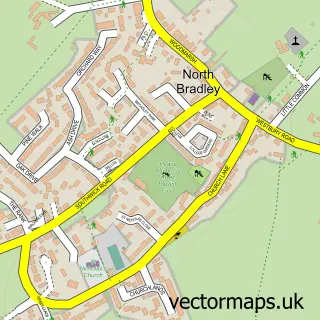
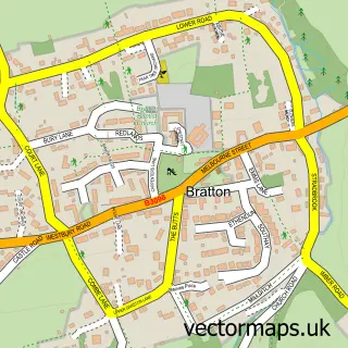
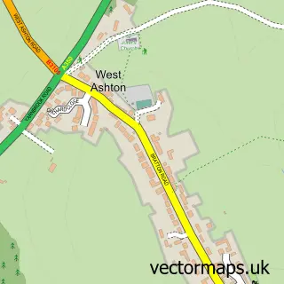
Nearby street map samples around Westbury

More street maps in Wiltshire
750 metre map area coverage
Boundary, postcode and point of interest information for the 750m x 750m rectangle centred on this sample map.
Boundaries containing map centre
Constituency: South West Wiltshire Co Const
District: Wiltshire
Icb: NHS Bath and North East Somerset Swindon and Wiltshire ICB
Parish: Westbury CP
Police Force: wiltshire
Postcode District: BA13
Postcode Sector: BA13 3
Nearby boundaries intersecting sample
No additional intersecting boundaries found.
Postcode coverage
POI category counts
Hair Salon: 7
Barber: 6
Pub: 6
Banks: 5
Beauty Salon: 4
Package Locker: 4
Restaurant: 4
Retirement Home: 4
Tattoo And Piercing: 4
Automotive Repair: 3
Sample points of interest
- Phoenix Business Systems
- Invibe Digital
- Steve's Taxis of Frome
- All Saints Church
- Craftology
- The Woollery
- Number Plates Next Day
- HT Dent Removal
- Kings Motor Services
- The Oval Motor Group
- Bit S
- Pc Onsite
Create a larger editable map of Westbury
This sample shows only a 750 metre area. To create a larger map of Westbury, use our map builder to choose your own coverage area, add titles and download editable SVG, PDF and PNG files.
Create a custom map of Westbury