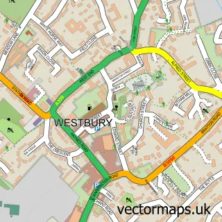
This Bratton street map is a detailed vector street map covering a 750m x 750m area. Select a larger area to create and download your own vector street map of Bratton.
The 750-metre map sample for Bratton covers 393 mapped buildings and approximately 19.4 km of road detail, of which 31 named roads are named. The immediate area includes 1 school and 2 pubs. The wider area around Bratton features 1 tourism point of interest and 2 food and drink venues. To create a larger or custom map of Bratton, the map builder lets you define your own coverage area and download editable SVG, PDF and PNG files.
Create a larger editable map of Bratton
Choose any area you need and generate a high-quality vector map instantly. Perfect for print, planning, design, business and personal use.

This Bratton street map in Wiltshire is available as downloadable SVG, PDF and PNG map files, or as a printed map for planning, business, display, education, local information and design work. You can also create a larger custom map area using the map selector.
What this Bratton map sample shows
Bratton lies within Bratton Cp parish, part of Ethandune ward in the Wiltshire local authority area. The postcode geography for this area includes the BA postcode area, the BA13 postcode district and the BA13 4 postcode sector. Residents fall under the Nhs Bath And North East Somerset, Swindon And Wiltshire Integrated Care Board for NHS services.
Local features near Bratton
Within 2 milesAmenities and services in and around Bratton.
Administrative and postcode information for Bratton
Bratton lies within Bratton Cp parish, part of Ethandune ward in the Wiltshire local authority area. The postcode geography for this area includes the BA postcode area, the BA13 postcode district and the BA13 4 postcode sector. Residents fall under the Nhs Bath And North East Somerset, Swindon And Wiltshire Integrated Care Board for NHS services.
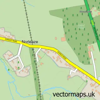
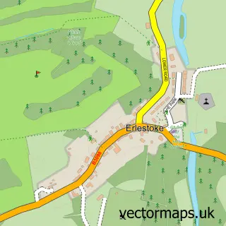
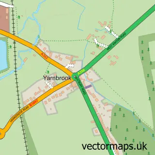
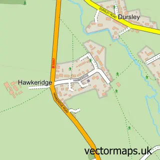
Nearby street map samples around Bratton


More street maps in Wiltshire
750 metre map area coverage
Boundary, postcode and point of interest information for the 750m x 750m rectangle centred on this sample map.
Boundaries containing map centre
Constituency: South West Wiltshire Co Const
District: Wiltshire
Icb: NHS Bath and North East Somerset Swindon and Wiltshire ICB
Parish: Bratton CP
Police Force: wiltshire
Postcode District: BA13
Postcode Sector: BA13 4
Nearby boundaries intersecting sample
Parish: Edington CP
Postcode coverage
POI category counts
Convenience Store: 2
Doctor: 2
Post Office: 2
Professional Services: 2
Pub: 2
Baptist Church: 1
Caterer: 1
Community Services Non Profits: 1
Education: 1
Elementary School: 1
Sample points of interest
- Bratton Baptist Church
- Event Catering Wiltshire
- Bratton Community Brass Bands
- Central Offers
- Londis
- Bratton Surgery
- Dr R M Edwards - Bratton Surgery
- Bratton Pre school
- Bratton Primary School
- Mediakinetic TV & Video Production
- Bratton Church Institute
- Westbury Office Services
Create a larger editable map of Bratton
This sample shows only a 750 metre area. To create a larger map of Bratton, use our map builder to choose your own coverage area, add titles and download editable SVG, PDF and PNG files.
Create a custom map of Bratton