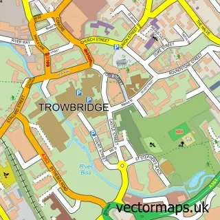
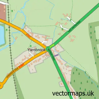
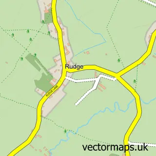
This Southwick street map is a detailed vector street map covering a 750m x 750m area. Select a larger area to create and download your own vector street map of Southwick.
The 750-metre map sample for Southwick covers 356 mapped buildings and approximately 12.0 km of road detail, of which 20 named roads are named. The immediate area includes 1 school, 1 pub and 1 MOT station, with 13 within 2 miles. The wider area around Southwick features 2 food and drink venues. To create a larger or custom map of Southwick, the map builder lets you define your own coverage area and download editable SVG, PDF and PNG files.
Create a larger editable map of Southwick
Choose any area you need and generate a high-quality vector map instantly. Perfect for print, planning, design, business and personal use.

This Southwick street map in Wiltshire is available as downloadable SVG, PDF and PNG map files, or as a printed map for planning, business, display, education, local information and design work. You can also create a larger custom map area using the map selector.
What this Southwick map sample shows
Southwick lies within Southwick Cp parish, part of Southwick ward in the Wiltshire local authority area. The postcode geography for this area includes the BA postcode area, the BA14 postcode district and the BA14 9 postcode sector. Residents fall under the Nhs Bath And North East Somerset, Swindon And Wiltshire Integrated Care Board for NHS services.
Local features near Southwick
Within 2 milesAmenities and services in and around Southwick.
Administrative and postcode information for Southwick
The local authority covering Southwick is Wiltshire, within the county of Wiltshire. The settlement lies within Southwick ward and Southwick Cp civil parish. The BA14 postcode district and BA14 9 postcode sector serve the immediate area. NHS provision in the area is delivered through Royal United Hospitals Bath Nhs Foundation Trust.
Nearby street map samples around Southwick

More street maps in Wiltshire
750 metre map area coverage
Boundary, postcode and point of interest information for the 750m x 750m rectangle centred on this sample map.
Boundaries containing map centre
Constituency: South West Wiltshire Co Const
District: Wiltshire
Icb: NHS Bath and North East Somerset Swindon and Wiltshire ICB
Parish: Southwick CP
Police Force: wiltshire
Postcode District: BA14
Postcode Sector: BA14 9
Nearby boundaries intersecting sample
No additional intersecting boundaries found.
Postcode coverage
POI category counts
Beauty Salon: 3
Driving School: 3
Building Supply Store: 2
Convenience Store: 2
Used Car Dealer: 2
Anglican Church: 1
Assisted Living Facility: 1
Atms: 1
Auto Electrical Repair: 1
Automotive Repair: 1
Sample points of interest
- Southwick: St Thomas
- Voyage Care Chantry Gardens
- Premier (LINK DC), Southwick
- Linn Electrical Contractors
- Norris Auto Services MOT
- Barber SHACK
- Be Beautiful with Rio
- Beauty by Carly Jane
- Sophia Rose Beauty
- Paul's Double Glazing Repairs
- Gutter Gremlin
- Rain or shine cleaning services
Create a larger editable map of Southwick
This sample shows only a 750 metre area. To create a larger map of Southwick, use our map builder to choose your own coverage area, add titles and download editable SVG, PDF and PNG files.
Create a custom map of Southwick